
Haridwar Height From Sea Level – Complete Guide
Haridwar Height From Sea Level
Haridwar is one of India’s most sacred cities — a spiritual gateway where the holy River Ganges leaves the Himalayan foothills and enters the plains of North India. Whether you’re planning a pilgrimage, studying geography, or writing travel content, knowing Haridwar height from sea level helps understand its climate, landscape, and cultural context. In this guide, we break down 5 key facts about Haridwar’s elevation, geography, weather, and why its height matters, drawing on sources including Haridwar Online and the Haridwar district administration.
5 Key Facts About Haridwar’s Height From Sea Level
1. Haridwar City Sits at About 314 Meters Above Sea Level
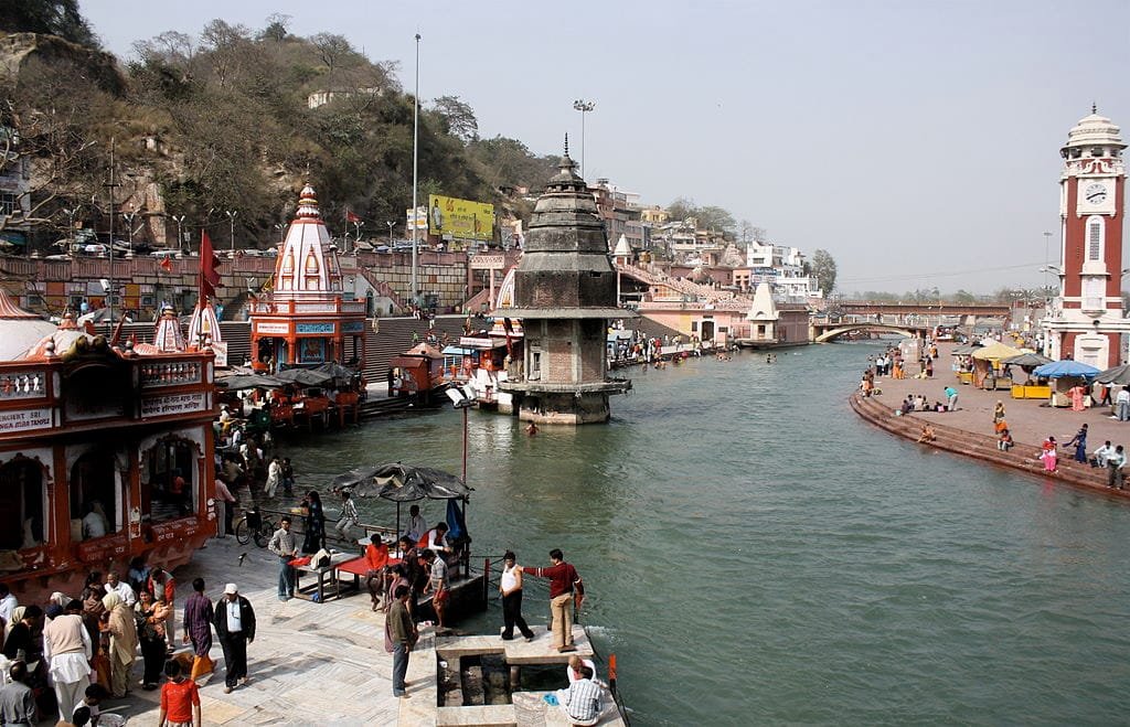
Haridwar is located at an average elevation of about 314 meters (1,030 feet) above mean sea level, according to Haridwar Online. Some sources also cite the wider Haridwar district’s height as approximately 249.7 meters, reflecting variations in terrain across the region, per the district administration. Most urban parts of Haridwar, including key pilgrimage points like Har Ki Pauri, are generally cited as being around 314 m above sea level.
| Location/Part | Height From Sea Level |
|---|---|
| Haridwar city center | ~314 m (1,030 ft) above sea level |
| Haridwar district (general) | ~249.7 m (819 ft) above sea level |
| Motichur Railway Station (Haridwar) | ~312.95 m above sea level |
2. It Sits Between the Shivalik Hills and the Ganga Plains
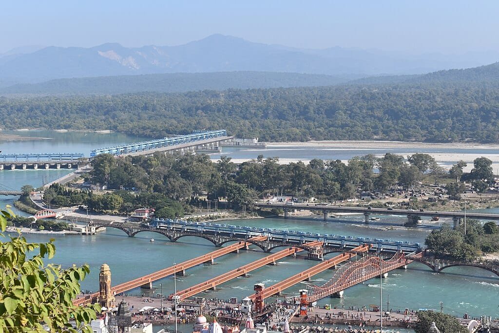
Haridwar is situated in Uttarakhand state in northern India, at approximately 29.58° N latitude and 78.13° E longitude. It lies on the right bank of the sacred River Ganga, where the river emerges from the mountains to enter the Northern Plains. Haridwar sits between the Shivalik hills to the north and the Ganga basin to the south, giving it a mixed landscape of low foothills and fertile plains.
3. Its Moderate Elevation Shapes a Distinct Seasonal Climate
Haridwar’s moderate elevation influences its climate in several ways:
- Summers: Hot and dry, with daytime temperatures often above 40°C, though nights are comparatively cooler than deeper plains regions.
- Winters: Pleasant to cool, occasionally dropping below 10°C in December and January.
- Monsoon: Moderate to heavy rainfall, with runoff and added moisture from nearby highlands.
- Breezes & Air Quality: Frequent breezes near the riverbank moderate humidity and temperature, though air quality can worsen with winter smog.
4. The Elevation Directly Shapes Pilgrimage and River Rituals
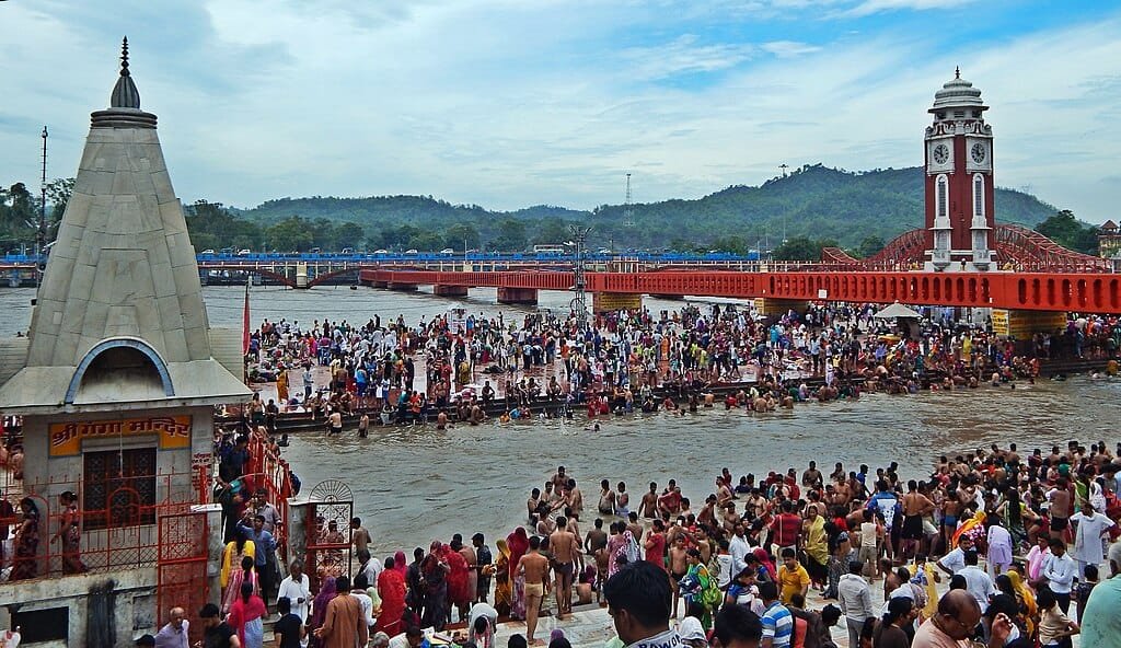
Haridwar’s height helps shape the flow of the Ganges as it leaves the mountains and begins its journey through the plains — an important factor for rituals, aartis, and river bathing. The moderate elevation and climate also make Haridwar relatively manageable for massive gatherings like the Kumbh Mela, which draws millions of pilgrims. The surrounding mix of hills, plains, and river ecosystems also supports diverse flora and fauna, including areas around Rajaji National Park near the northern edges of the district.
5. Its Elevation Barely Changes as You Travel to Haridwar
Traveling to Haridwar involves only a gentle increase in elevation, whether by road, rail, or air:
- By Air: The nearest airport is Jolly Grant Airport in Dehradun (~54 km away), with taxi and bus connections to Haridwar.
- By Train: Haridwar is a major railway hub on the Northern Railways network, with multiple trains from Delhi, Mumbai, Kolkata, and other major cities. Station elevations (such as Motichur at ~312.95 m) reflect the city’s average height.
- By Road: Well-connected highways link Haridwar to Dehradun, Rishikesh, Delhi, and other pilgrimage towns, making it a key transit point for the Char Dham circuit.
Best Time to Visit Haridwar
| Season | Experience |
|---|---|
| Winter (Nov–Feb) | Cool, pleasant weather for sightseeing & rituals |
| Spring (Mar–Apr) | Moderate temperatures, festive vibes |
| Summer (May–Jun) | Hot days, but nights are tolerable |
| Monsoon (Jul–Sep) | Lush surroundings, occasional showers |
October to March is often considered the most comfortable period for visiting Haridwar due to mild temperatures and clear skies.
Frequently Asked Questions
What is Haridwar’s height from sea level?
Haridwar city center is located at an average elevation of about 314 meters (1,030 feet) above sea level, while the wider Haridwar district averages around 249.7 meters.
Why does Haridwar’s elevation matter for pilgrims?
Haridwar’s elevation and river flow shape how Ganga rituals like the Ganga Aarti at Har Ki Pauri are performed, and its moderate climate makes it manageable for mass gatherings like the Kumbh Mela.
What is the best time to visit Haridwar based on its climate?
October to March is generally the most comfortable period to visit Haridwar, thanks to mild temperatures and clear skies.
Conclusion
Haridwar’s height from sea level — approximately 314 meters (1,030 feet) — shapes its climate, landscapes, and cultural experience. Situated at the foothills of the Himalayas and along the Ganga, this elevation helps create a blend of spiritual energy, natural beauty, and comfortable travel conditions that draw millions of visitors every year.