
Meghalaya Height From Sea Level – 9 Powerful Facts About the Abode of Clouds
Meghalaya height from sea level – Meghalaya, famously known as the “Abode of Clouds,” is one of the most scenic states in Northeast India. Its rolling hills, deep valleys, record-breaking rainfall, waterfalls, caves, and living root bridges make it a unique geographical region. One of the most commonly searched questions by travelers and geography enthusiasts is about the Meghalaya height from sea level.
Understanding Meghalaya’s elevation helps visitors plan travel, understand climate conditions, and appreciate why this region experiences such rich biodiversity and weather patterns. This guide covers 9 powerful facts about Meghalaya height above sea level, along with information on climate, major cities’ elevations, places to visit, best time to travel, and much more.
9 Powerful Facts About Meghalaya Height From Sea Level
1. Meghalaya’s Elevation Ranges From 150 to 1,961 Meters
The average height of Meghalaya from sea level ranges between 150 meters to 1,961 meters (492 ft to 6,434 ft). The elevation varies significantly across different regions of the state. While some low-lying areas near Assam are close to sea level, the central plateau and hill regions rise steeply, giving Meghalaya its famous highland character.
- Highest point: Shillong Peak – 1,961 meters
- Average plateau height: Around 1,200–1,500 meters
This variation in altitude is a major reason for Meghalaya’s diverse climate and ecosystems.
2. Its Altitude Shapes the Region’s Geography and Rainfall
The Meghalaya Plateau is one of the oldest landforms in India and is geologically distinct from the Himalayas. Its height from sea level plays a crucial role in causing heavy orographic rainfall, supporting dense subtropical forests, creating ideal conditions for rivers, waterfalls, and caves, and influencing agriculture and local livelihoods. Moisture-laden winds from the Bay of Bengal rise when they hit the plateau, leading to extremely high rainfall, especially in southern Meghalaya.
3. Elevation Varies Sharply Between Major Cities and Towns
Here is the approximate height from sea level of important cities and tourist places in Meghalaya:
- Shillong: 1,496 meters
- Shillong Peak: 1,961 meters
- Cherrapunji (Sohra): 1,484 meters
- Mawsynram: 1,400 meters
- Tura: 657 meters
- Nongpoh: 485 meters
- Williamnagar: 305 meters
This range shows how Meghalaya transitions from high plateaus to lower valleys within short distances.
4. It Creates Three Distinct Climate Seasons
The height from sea level directly influences Meghalaya’s climate. Due to its elevation, the state enjoys relatively cool temperatures compared to most parts of India.
- Summer (March–June): 15°C to 25°C, pleasant and ideal for sightseeing, cooler in hill regions like Shillong and Sohra.
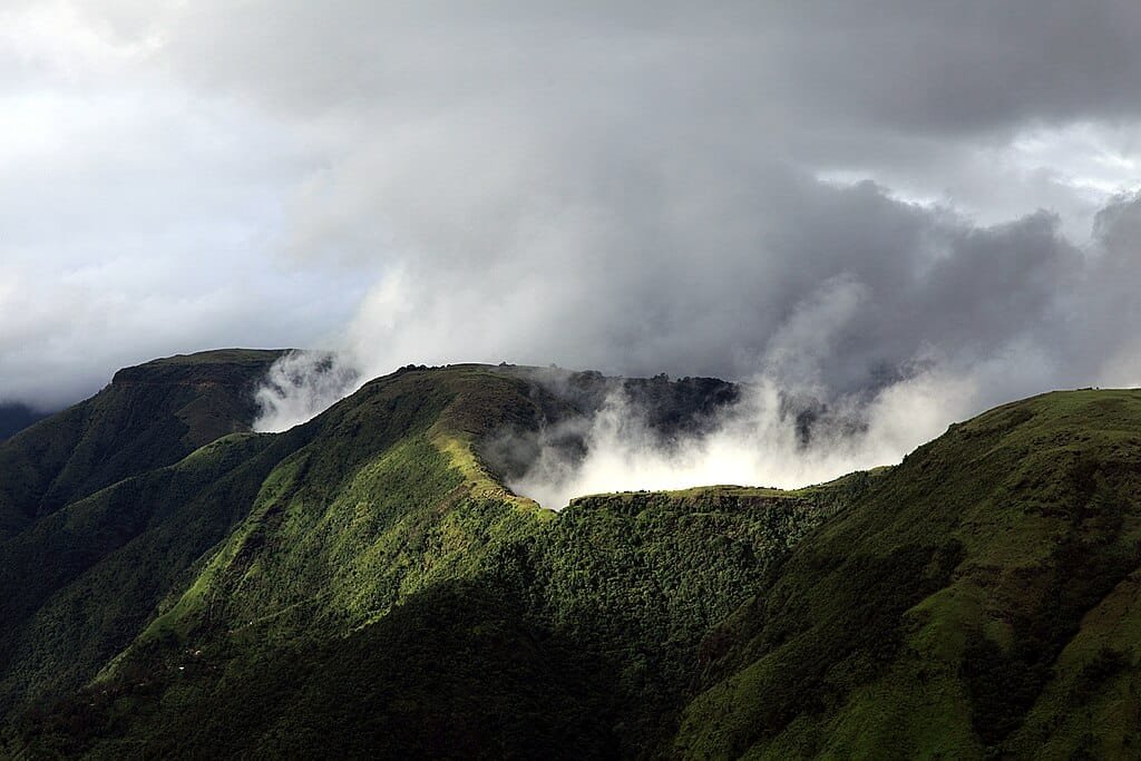
- Monsoon (June–September): Meghalaya receives some of the highest rainfall on Earth — Mawsynram and Cherrapunji are among the wettest places globally, and landslides and roadblocks are common.
- Winter (November–February): 4°C to 15°C, cold nights in higher elevations, misty mornings and clear skies.
The moderate altitude ensures Meghalaya never experiences extreme heat.
5. The Best Travel Season Depends on Elevation and Rainfall
The best time to visit Meghalaya considering its height from sea level is:
- October to April (Recommended): Pleasant temperatures, clear views of valleys and hills, ideal for trekking, sightseeing, and photography.
- June to September (For Rain Lovers): Heavy rainfall, best for waterfalls and lush greenery, though travel disruptions are possible.
If you prefer cool weather without excessive rain, winter and early spring are the best seasons.
6. Its Top Destinations Each Showcase a Different Altitude Advantage
Meghalaya’s elevation creates dramatic landscapes and stunning viewpoints. Some must-visit places include:
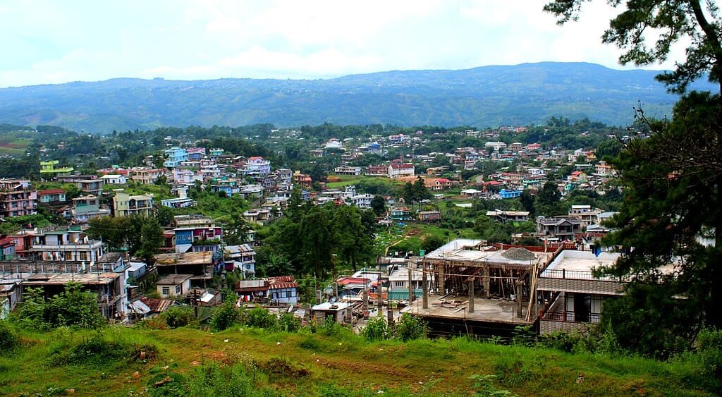
- Shillong: The capital city, located at nearly 1,500 meters, known for lakes, viewpoints, and colonial charm.
- Cherrapunji (Sohra): Famous for rainfall, waterfalls, limestone caves, and living root bridges.
- Mawsynram: Often called the wettest place on Earth, located at a high plateau exposed to rain-bearing winds.
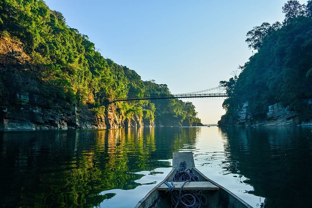
- Dawki: Though lower in elevation, Dawki’s clear Umngot River contrasts beautifully with surrounding hills.
- Tura: Situated in the Garo Hills, offering forested landscapes and wildlife experiences.
7. Its Terrain Enables a Wide Range of Activities
Thanks to its height and terrain, Meghalaya offers diverse activities:
- Trekking to living root bridges
- Cave exploration (Mawsmai, Siju, Liat Prah)
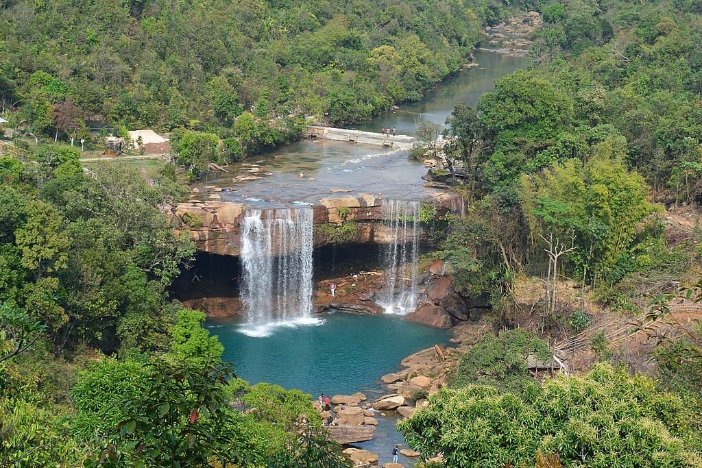
- Waterfall visits (Nohkalikai, Seven Sisters)
- Nature photography
- Cultural experiences with Khasi, Jaintia, and Garo tribes
Adventure seekers benefit from the hilly elevation, while casual travelers enjoy scenic drives and viewpoints.
8. Reaching Meghalaya Means Climbing Steadily From the Plains
Despite its hilly altitude, Meghalaya is well connected:
- By Air: Nearest airport is Shillong Airport (Umroi) with limited flights; the major airport is Guwahati Airport, 128 km away.
- By Train: Nearest railway station is Guwahati Railway Station.
- By Road: Well-maintained highways connect Guwahati to Shillong, with roads winding upward due to increasing elevation.
Travel time increases because of mountainous terrain, but views are spectacular. Accommodation is available for every budget — luxury resorts in Shillong and Cherrapunji, mid-range hotels and boutique stays, homestays in villages and hill towns, and eco-lodges near forests and waterfalls. Due to cooler temperatures at higher altitudes, most accommodations do not require air conditioning.
9. Elevation Shapes Agriculture and Daily Life Across the State
Meghalaya’s elevation influences crops like rice, maize, potatoes, and spices, shifting cultivation (jhum farming) in some regions, cool-weather vegetables and fruits, and traditional architecture adapted to heavy rainfall. Life in Meghalaya revolves around its hills, rainfall, and altitude-driven climate.
Meghalaya Height From Sea Level – Key Facts Summary
- Average elevation: 1,200–1,500 meters
- Highest point: Shillong Peak (1,961 meters)
- Climate: Mild summers, heavy monsoons, cool winters
- Geography: Plateau with steep southern slopes
- Tourism: Best from October to April
Frequently Asked Questions
What is Meghalaya height from sea level?
Meghalaya’s elevation ranges from about 150 meters to 1,961 meters (492 ft to 6,434 ft), with the average plateau height around 1,200–1,500 meters.
What is the highest point in Meghalaya?
Shillong Peak, at 1,961 meters, is the highest point in Meghalaya.
How high is Shillong compared to Cherrapunji?
Shillong sits at approximately 1,496 meters, slightly higher than Cherrapunji (Sohra) at approximately 1,484 meters.
Final Thoughts
Understanding the Meghalaya height from sea level explains why this northeastern state feels so different from the rest of India. Its elevation shapes everything—from climate and rainfall to culture, agriculture, and tourism. Whether you’re planning a trip, studying geography, or simply curious, Meghalaya’s altitude is central to its identity as the Abode of Clouds.
Kotagiri Height From Sea Level – Altitude, Climate, Travel Guide & Things to Do | Bangalore Height From Sea Level