
Chandigarh Grid System Explained: The Famous V-Roads
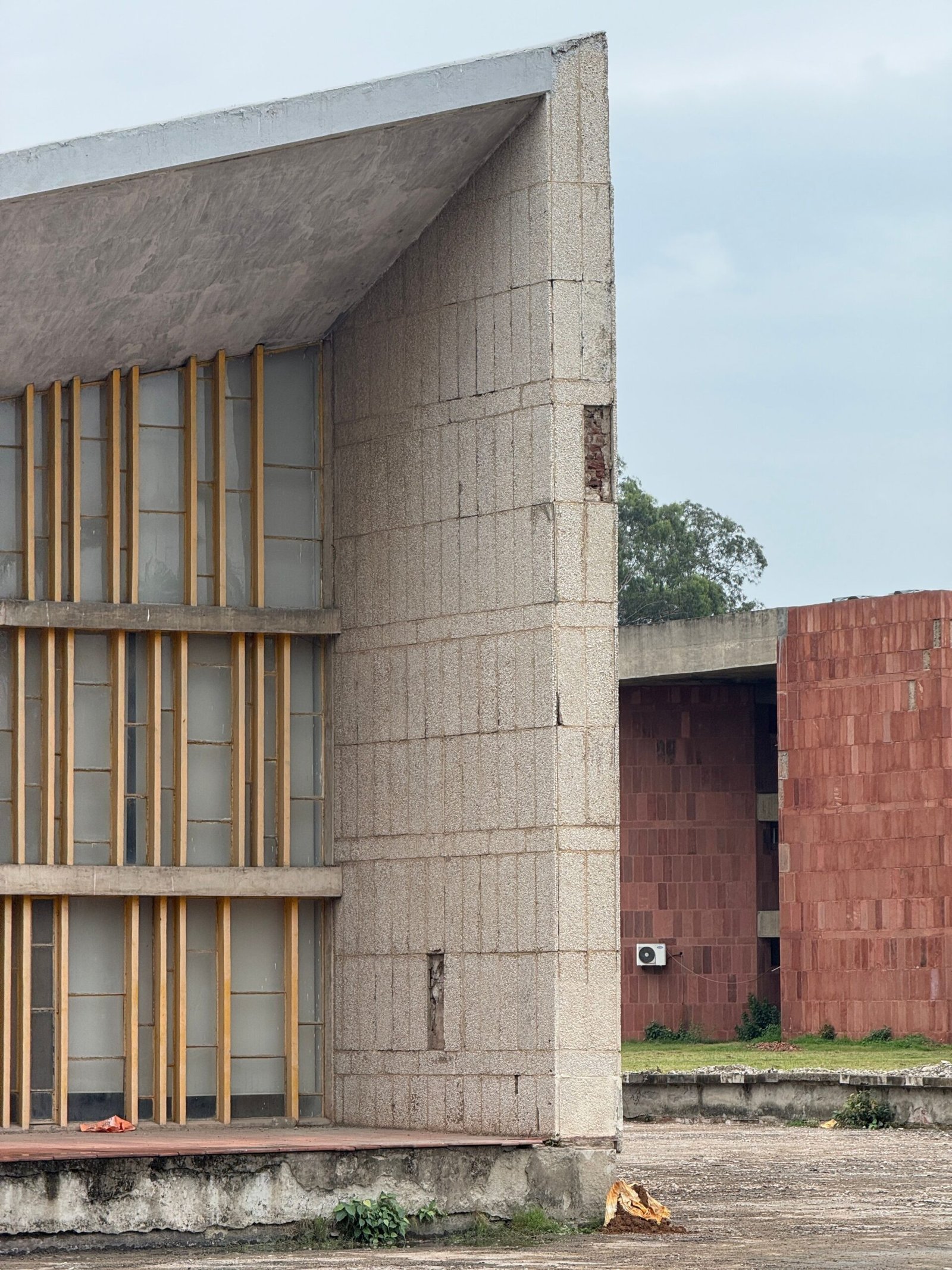
Chandigarh is often celebrated as India’s first planned city and one of the finest examples of modern urban planning in the world. Designed by the renowned architect Le Corbusier, the city stands apart because of its organized layout, efficient transportation network, and self-sufficient sectors. At the heart of this planning lies the Chandigarh grid system, a revolutionary concept that continues to influence urban planners even today.
The Chandigarh grid system was carefully designed to ensure smooth traffic movement, easy navigation, and balanced urban growth. One of the most important features of this planning model is the famous V-Road hierarchy, which forms the backbone of the city’s transportation network. Understanding the grid system plan
helps visitors and residents appreciate why the city remains one of the best-planned urban centers in India.
What Is the Chandigarh Grid System?
The Chandigarh grid system refers to the city’s structured layout, where sectors are arranged in a rectangular grid pattern. Instead of developing randomly like many cities, Chandigarh was planned with a systematic approach that divided the city into clearly defined sectors.
Each sector functions as a self-contained neighborhood with schools, markets, parks, and essential services. The Chandigarh grid system ensures that residents can access daily necessities without traveling long distances. This thoughtful planning contributes significantly to the city’s high quality of life.
The success of the grid system plan lies in its simplicity and efficiency. Wide roads, organized sectors, and designated green spaces create a harmonious balance between urban development and environmental sustainability.
Understanding the Grid System Plan of Chandigarh
The grid system plan was developed to create order and functionality within the city. Le Corbusier envisioned a city where traffic congestion would be minimized and public spaces would remain accessible to everyone.
Under the grid system plan of Chandigarh, the city is divided into numbered sectors, each measuring approximately 800 by 1200 meters. These sectors are separated by major roads while internal roads provide local access. This arrangement allows for smooth traffic flow without disrupting residential areas.
One of the key strengths of the grid system plan is its ability to accommodate growth while maintaining organization. Even decades after its creation, the city continues to operate efficiently because of this well-thought-out framework.
The Famous V-Road Concept
The most distinctive element of the Chandigarh grid system is the V-Road hierarchy. Le Corbusier introduced a classification system for roads based on their function and traffic volume. This system ensures that different types of traffic use appropriate routes, reducing congestion and improving safety.
The V-Road network consists of several categories:
V1 Roads – Regional Highways
V1 roads connect Chandigarh with neighboring cities and states. These roads handle long-distance and intercity traffic, ensuring seamless regional connectivity.
V2 Roads – Urban Arterial Roads
V2 roads are major city arteries that carry large volumes of traffic across different sectors. These roads play a critical role within the Chandigarh grid system by linking key parts of the city.
V3 Roads – Sector Dividing Roads
V3 roads form the boundaries between sectors. They help maintain the organized structure envisioned in the grid system plan of Chandigarh while facilitating smooth traffic movement.
V4 Roads – Shopping Streets
These roads provide access to sector markets and commercial areas. Sector 17, Chandigarh’s famous commercial hub, is an excellent example of V4 road planning.
V5 Roads – Sector Distribution Roads
V5 roads distribute traffic within sectors and connect residents to schools, parks, and local facilities.
V6 Roads – Residential Streets
These roads provide direct access to homes and residential neighborhoods while ensuring minimal traffic disturbance.
V7 Roads – Pedestrian Pathways
V7 roads are dedicated pathways for pedestrians and cyclists, encouraging safe and environmentally friendly movement.
Benefits of the Chandigarh Grid System
The Chandigarh grid system offers numerous advantages that continue to make the city a model for urban planning.
Efficient Traffic Management
One of the biggest strengths of the Chandigarh grid system is its ability to manage traffic efficiently. The hierarchical road network prevents unnecessary congestion and keeps residential areas peaceful.
Easy Navigation
Visitors often find Chandigarh easier to navigate compared to other major cities. The numbered sectors and structured layout of the grid system plan make orientation straightforward.
Improved Safety
The separation of different traffic types reduces accidents and enhances road safety. This principle remains one of the most successful aspects of the grid system plan.
Sustainable Urban Development
The city incorporates green belts, parks, and open spaces alongside roads and buildings. This integration supports environmental sustainability and improves overall livability.
Why the Chandigarh Grid System Still Matters Today
More than seventy years after its creation, the Chandigarh grid system continues to be admired by urban planners worldwide. Cities across India and beyond study Chandigarh’s layout to understand how thoughtful planning can improve urban life.
The enduring success of the grid system plan of Chandigarh demonstrates the importance of balancing transportation, residential development, commercial activity, and environmental conservation. As cities face growing challenges related to population growth and traffic congestion, Chandigarh serves as a valuable example of effective urban design.
Conclusion
The famous V-Road network remains one of the most innovative features of Chandigarh’s planning. The Chandigarh grid system transformed urban design by creating a structured, efficient, and sustainable city layout. Through its carefully organized sectors and road hierarchy, the city continues to offer residents and visitors an exceptional urban experience.
Whether you are an architecture enthusiast, a student of urban planning, or simply curious about Chandigarh’s unique identity, understanding the grid system provides valuable insight into why the city is recognized as one of the world’s greatest planned urban developments.