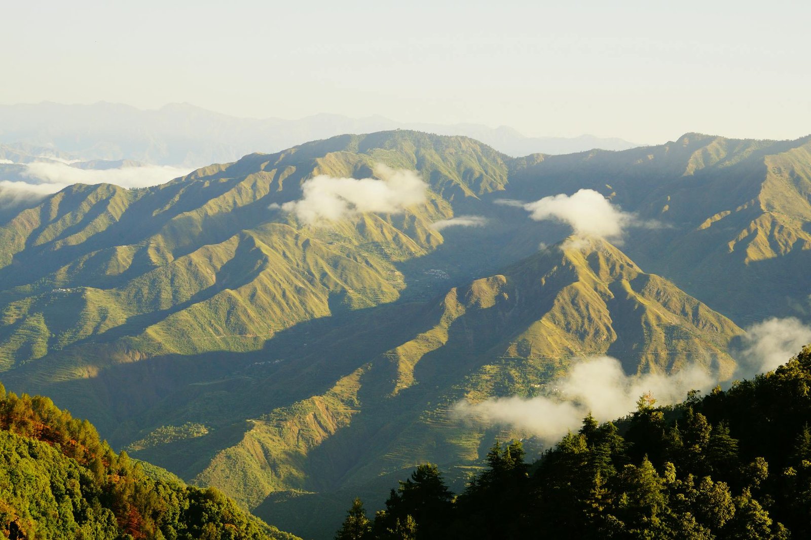
Dehradun Height From Sea Level – Nestled within the picturesque Doon Valley between the outer Shivalik Hills and the Lesser Himalayas, Dehradun is the winter capital and largest city of Uttarakhand. Renowned for its premier educational and military institutions (IMA, Forest Research Institute, Doon School), lush litchi orchards, and tranquil green surroundings, Dehradun serves as the primary transit gateway to North India’s most famous hill stations. Situated at an average elevation of 447 meters (1,467 feet) above sea level, the city occupies an intermontane valley basin that creates a transitional climate—much cooler than the northern plains of Delhi or Saharanpur, yet far milder than the high-altitude Himalayan ridges of Mussoorie. In this complete 2026 geographic and travel guide, we cover Dehradun’s altitude gradient, weather patterns, hill station elevation comparisons, and travel tips.
Geographic Parameter
Elevation & Statistical Details
Average City Elevation
447 meters (1,467 feet) above sea level
Doon Valley Elevation Gradient
410 m (Clement Town in south) to 800+ m (Rajpur/Malsi in north)
Geographic Setting
Doon Valley (Between Song River basin & Asan River basin)
Bordering Mountain Ranges
Shivalik Range (South) & Lesser Himalayas / Mussoorie Range (North)
Climate Type
Humid Subtropical with Mountain Valley Inversion (Köppen: Cwa)
Average Summer Temperature
18°C to 36°C (Cooled by evening valley downdrafts)
Average Winter Temperature
5°C to 20°C (Occasional morning ground frost and valley fog)
Topographical Elevation Gradient Across the Doon Valley
Unlike flat plain cities, Dehradun is laid out on an inclined geological depression (a Dun) that tilts steadily upwards from south to north:
Southern Plains & Clement Town (~410 m – 435 m / 1,345 ft – 1,427 ft): The lower rim of the valley adjoining the Mohand Pass and the entry highway from Saharanpur.
City Centre & Clock Tower (~447 m – 450 m / 1,467 ft – 1,476 ft): The commercial core encompassing Paltan Bazaar, the historic Clock Tower (Ghanta Ghar), and Dehradun Railway Station.
Forest Research Institute & Cantonment (~490 m – 520 m / 1,607 ft – 1,706 ft): Elevated institutional plateaus with expansive green cover and tree canopies.
Northern Suburbs (Malsi & Rajpur Road – ~650 m to 800+ m / 2,132 ft to 2,625 ft): The foothills of the Lesser Himalayas. Here, mountain breezes pick up, temperatures run 2°C to 3°C cooler than the railway station, and the winding ascent toward Mussoorie begins.
How Altitude Shapes Dehradun’s Weather & Climate
Sitting at nearly 1,500 feet, Dehradun avoids the extreme heat waves of the North Indian plains while escaping the sub-zero winter chills of upper Himalayan towns:
Summers (March to June): Days can reach 32°C to 36°C during peak noon hours, but evenings are refreshed by the descending catabatic winds from the Mussoorie hills, keeping nighttime temperatures comfortable around 18°C to 22°C.
Heavy Orographic Monsoons (July to September): Because the rising cloud fronts from the plains crash directly into the steep Himalayan barrier right behind Dehradun, the city receives abundant rainfall (often exceeding 2,000 mm annually). Natural cascades like Sahastradhara, Robber’s Cave (Guchhupani), and Shikhar Fall roar to life.
Crisp Winters (October to February): Winter mornings are brisk and clear, with daytime temperatures hovering around 16°C to 20°C. Nighttime mercury occasionally drops to 3°C or 5°C, requiring jackets and warm woolen sweaters.
Elevation Comparison: Dehradun vs. Nearby Tourist Hubs
Because Dehradun sits at the base of the mountains, travelers often use it as an acclimatization stop before continuing to higher altitudes in Uttarakhand:
No. Acute Mountain Sickness (AMS) generally only impacts humans at elevations above 2,400 to 2,500 meters (8,000 feet). At 447 meters (1,467 feet), oxygen saturation levels remain completely normal (98%–99%). Travelers of all age groups, including elderly individuals and young children, will experience zero breathing difficulties or altitude pressure.
Travel Tips for Visiting Dehradun
Planning a Climb to Mussoorie: If you are driving up from Dehradun to Mussoorie, remember that you will gain over 1,550 meters of elevation in just 34 km. Pack warm layers in your car, as temperatures can drop by 8°C to 12°C by the time you reach Gandhi Chowk or Landour.
Monsoon Road Safety: While Dehradun city remains fully accessible by broad multi-lane highways and trains, heavy monsoon rains in July and August can cause localized waterlogging and occasional rockfalls along the uphill Mussoorie and Chakrata mountain roads. Always monitor local meteorological forecasts.
Transit Connectivity: Dehradun is served by Jolly Grant Airport (DED), located 28 km southeast in the foothills, providing direct daily flights from Delhi, Mumbai, Bengaluru, and Lucknow.
Frequently Asked Questions (FAQs)
What is Dehradun Height From Sea Level?
Dehradun is situated at an average elevation of 447 meters (1,467 feet) above sea level, with its northern foothill sectors around Rajpur rising above 700 to 800 meters.
Is Dehradun considered a hill station?
Technically, Dehradun is an intermontane valley city located in the Doon Valley rather than a high-altitude hill station. However, its proximity to the Himalayas and surrounding forested hills gives it a pleasant foothill atmosphere.
Does it snow in Dehradun city?
No. Dehradun city does not experience snowfall due to its moderate 447-meter elevation. However, winter snowfall is common in nearby high-altitude towns such as Mussoorie, Dhanaulti, and Chakrata.