Nestled across the rolling ridges of the Kumaon Himalayas in Uttarakhand’s Almora district, Ranikhet (meaning “Queen’s Meadow”) is one of Northern India’s most tranquil cantonment hill stations. Famous for British-era stone churches, sprawling pine and oak forests, apple orchards, and unobstructed views of Himalayan peaks like Nanda Devi and Trishul, its altitude is central to its perennial pleasant weather. In this complete guide, we cover Ranikhet’s official elevation in meters and feet, how it compares to nearby hill stations, and what its mountain climate means for travelers.
The town of Ranikhet sits at an average elevation of 1,869 metres (6,132 feet) above sea level. Topographically, the hill station spans two distinct geographical ridges:
The Ranikhet Ridge: Situated at approximately 1,824 meters (5,983 feet), housing the historic Cantonment area, Mall Road, and Kumaon Regimental Centre.
The Chaubatia Ridge: Rising to roughly 2,116 meters (6,942 feet), home to government fruit research farms, apple gardens, and panoramic view decks.
Because the town is managed under strict building and green cover guidelines by the Ranikhet Cantonment Board, its ridge-top pine and deodar forests have remained pristine, protecting the area from the commercial crowding seen in other hill towns.
Ranikhet Elevation Compared to Other Uttarakhand Hill Stations
Here is how Ranikhet’s height compares to other popular tourist and pilgrimage destinations across the Kumaon and Garhwal circuits:
Hill Station
Elevation (Meters)
Elevation (Feet)
Key Highlights
Ranikhet
1,869 m
6,132 ft
Army Cantonment, Golf course, fruit orchards
Nainital
1,938 m
6,358 ft
Naini Lake, boating, bustling mall road
Almora
1,646 m
5,400 ft
Cultural capital of Kumaon, temples, Bal Mithai
Kausani
1,890 m
6,200 ft
Famous 300 km panoramic Himalayan views
Mukteshwar
2,171 m
7,122 ft
High cliff edges, apple orchards, adventure sports
Mussoorie
2,005 m
6,578 ft
Queen of the Hills in Garhwal region
How Altitude Shapes Ranikhet’s Seasonal Climate
Thanks to its elevation above 1,800 meters, Ranikhet experiences a sub-temperate Himalayan climate:
Spring & Summer (March to June): Delightfully pleasant with daytime temperatures averaging 15°C to 26°C. It serves as an ideal summer haven when the northern plains experience heatwaves above 42°C.
Monsoon (July to September): Misty clouds envelop the pine ridges, with fresh rain revitalizing the fruit orchards and oak forests. Average annual rainfall is ~1,200 mm.
Autumn (October to November): One of the clearest seasons for photography, offering sharp, unobstructed sunrise and sunset vistas over Trishul and Nanda Devi peaks.
Winter (December to February): Crisp and cold with temperatures fluctuating between -2°C and 12°C. Higher ridges like Chaubatia receive regular snowfall, creating a peaceful winter wonderland.
Top Attractions & Activities at Ranikhet’s Elevation
Chaubatia Botanical Gardens: Spanning over 265 acres, this high-elevation orchard produces world-class apples, peaches, apricots, and plums alongside research facilities.
Upat Golf Course: Located at nearly 6,000 feet, this is one of Asia’s highest 9-hole natural grass golf courses, maintained by the Indian Army.
Kumaon Regimental Centre (KRC) Museum: Dedicated to the gallantry of the Kumaon and Naga Regiments, displaying war relics and military memorabilia.
Jhula Devi Temple: A revered 8th-century temple known for thousands of copper bells tied by devotees whose wishes have been granted.
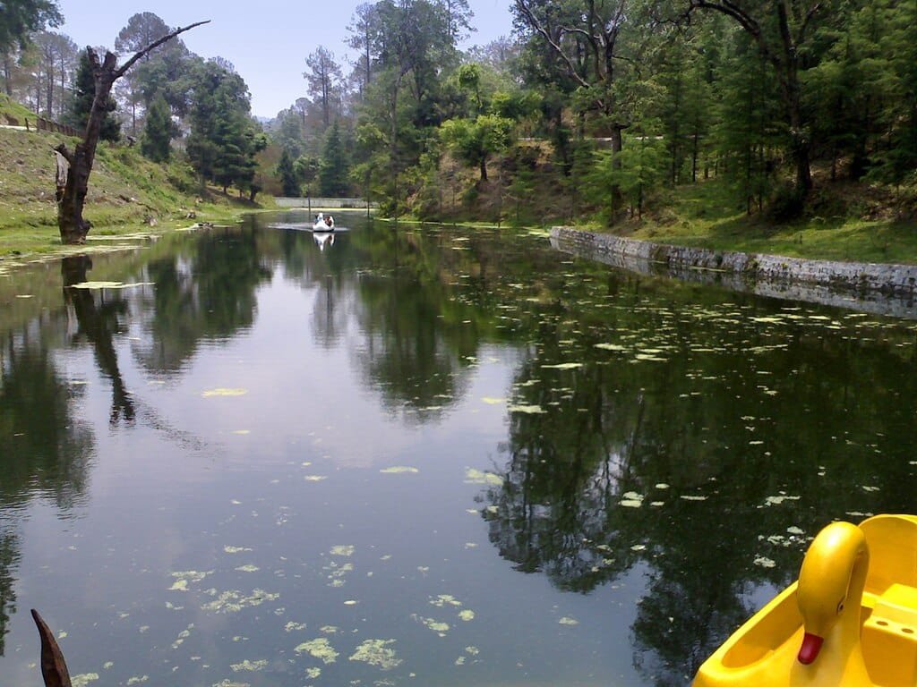
Rani Jheel: An artificial lake developed by the Cantonment Board providing serene pedal-boating amidst deodar trees.
How to Reach Ranikhet
By Rail: The nearest major railhead is Kathgodam Railway Station (KGM), situated about 80 km (approx. 2.5 to 3 hours drive) away, connecting to New Delhi, Lucknow, and Kolkata.
By Air:Pantnagar Airport (PGH) is the closest airport at ~115 km, with taxi services and state buses readily available.
By Road: Ranikhet is well linked via National and State Highways from Delhi (350 km), Chandigarh (440 km), and Nainital (55 km).
Frequently Asked Questions (FAQs)
What is the elevation of Ranikhet in meters and feet?
Ranikhet is situated at an average height of 1,869 meters (6,132 feet) above sea level, with its highest ridge at Chaubatia reaching 2,116 meters (6,942 feet).
Does it snow in Ranikhet?
Yes. Ranikhet and adjoining ridges such as Chaubatia and Majkhali receive moderate snowfall during peak winter months, usually in late December, January, and early February.
Is Ranikhet higher than Nainital?
No. Nainital sits slightly higher at approximately 1,938 meters (6,358 feet), while Ranikhet averages 1,869 meters (6,132 feet).

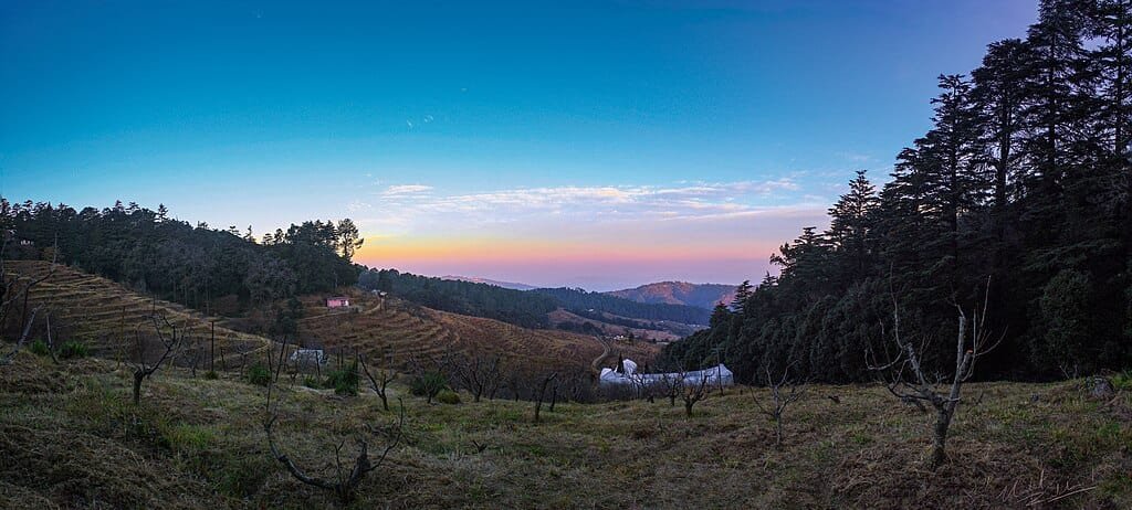 Because the town is managed under strict building and green cover guidelines by the Ranikhet Cantonment Board, its ridge-top pine and deodar forests have remained pristine, protecting the area from the commercial crowding seen in other hill towns.
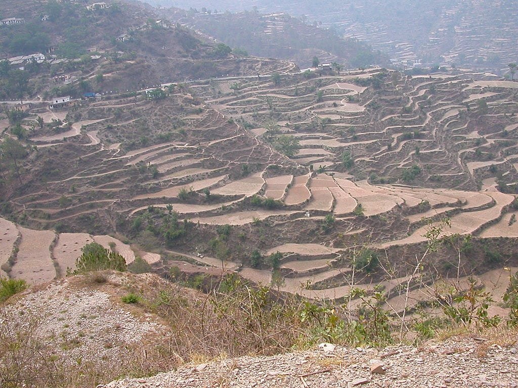 Thanks to its elevation above 1,800 meters, Ranikhet experiences a sub-temperate Himalayan climate:
Comments are closed.