Manali Height From Sea Level (2026 Elevation, Mountain Passes & Weather Guide) – Nestled along the northern terminus of the Kullu Valley in Himachal Pradesh, Manali sits at an official elevation of 2,050 meters (6,726 feet) above sea level. Flanked by the Pir Panjal and Dhauladhar ranges and bisected by the glacial waters of the Beas River, this alpine resort town is one of the most frequented mountain destinations in Northern India.
Positioned more than 770 vertical meters higher than the district headquarters at Kullu, Manali’s altitude provides crisp mountain air, dependable sub-zero winter snowfall, and serving as the primary launchpad for high-altitude passes into Lahaul, Spiti, and Ladakh. In this comprehensive 2026 geographic reference guide, we explore Manali’s exact height in meters and feet, the elevation gradient from Old Manali to Rohtang Pass, seasonal snowfall patterns, altitude acclimatization, and travel routes via the Kiratpur-Manali expressway.
Topographical Gradient: Beas River to Rohtang Pass
Understanding Manali’s topography requires looking at the vertical ascent heading north through the Kullu Valley corridor:
Central Manali & Mall Road (2,050 m / 6,726 ft): The commercial heart of the town, housing transit terminals, boutique hotels, and handicraft markets.
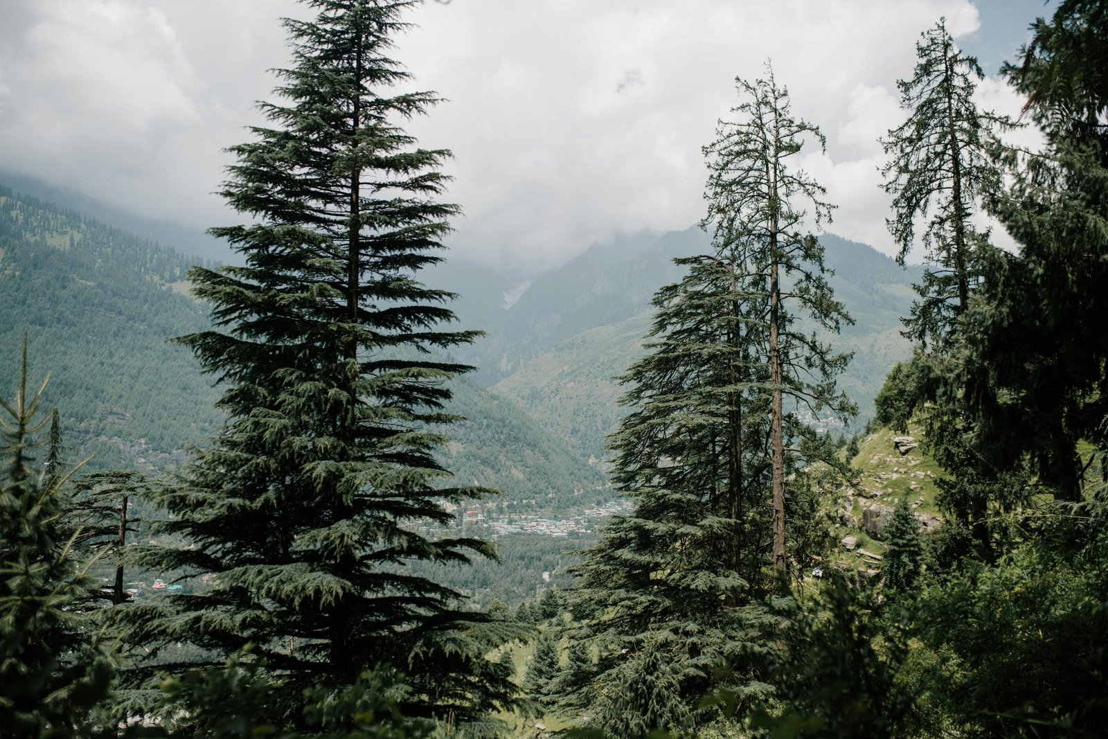
Old Manali & Log Huts (2,080 m – 2,150 m): Perched along stepped slopes above the Manalsu river stream, Old Manali features traditional wooden Kath-Kuni architecture, apple orchards, and trails into dense deodar sanctuaries around the historic 1553 Hadimba Devi Temple.
Solang Valley (2,560 m / 8,398 ft): Situated 14 km northwest of town, this natural alpine bowl is the adventure center for amateur skiing, quad biking, and paragliding.
Atal Tunnel South Portal (3,060 m / 10,039 ft): An engineering marvel that cuts through the Pir Panjal range over 9.02 kilometers, bypassing the treacherous Rohtang Pass ascent to provide all-weather access to Sissu in Lahaul Valley.
Rohtang Pass (3,978 m / 13,051 ft): Located 51 km uphill from Manali, this legendary pass marks the dramatic watershed divide between the lush, monsoon-fed Kullu Valley and the dry, rain-shadow plateau of Lahaul and Spiti.
Elevation Comparison: Manali vs. Renowned Himalayan Hill Stations
To put Manali’s 2,050-meter elevation into context across Northern India, review this comparative breakdown:
How Altitude Influences Manali’s Climate, Snowfall & Seasons
Sitting at 2,050 meters, Manali experiences a sub-alpine highland climate (Köppen: Cfb), which creates distinct seasonal transitions:
Summer Retreat (April to June): Daytime temperatures stay pleasant between 12°C and 25°C, offering a refreshing escape while cities in Punjab, Haryana, and Delhi swelter above 42°C. Evenings are cool (10°C–14°C), requiring light woolens.
Southwest Monsoon (July to August): The upper Beas basin receives moderate-to-heavy rainfall. Because the gorge slopes are steep, road travelers should monitor landslide alerts along NH-3 during peak cloudbursts.
Autumn Visibility (September to November): The best season for landscape photography. Clear blue skies, crisp mountain air, and low humidity reveal the snow-dusted summits of Friendship Peak and Hanuman Tibba.
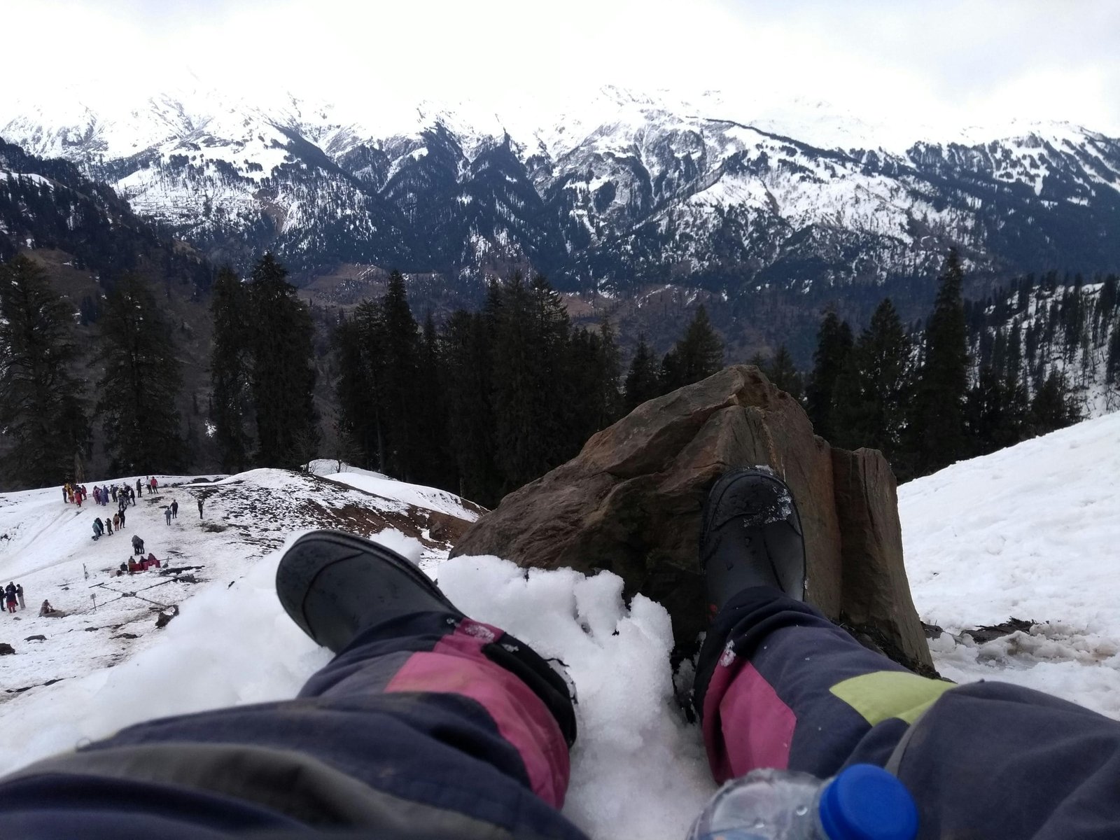
Winter Snowfall (December to February): Sub-zero weather dominates, with daytime temperatures hovering between -2°C and 8°C, frequently dropping to -5°C or lower at night. Regular Western Disturbances blanket Mall Road and Old Manali in snow, while Solang Valley transforms into an active skiing terrain.
At 2,050 meters, Acute Mountain Sickness (AMS) is rare in Manali town. Atmospheric oxygen concentration remains comfortable for infants, families, and senior citizens without requiring acclimatization medicine.
However, many tourists take day excursions from Manali up to the Atal Tunnel (3,060 m) or climb to Rohtang Pass (3,978 m). Ascending nearly 2,000 vertical meters in a 2-hour drive can induce altitude headaches, dizziness, and mild nausea. Stay well-hydrated, avoid alcohol on the evening prior to traveling uphill, and take resting breaks when crossing high passes.
How to Reach Manali: New Expressway & Transit Routes
Accessing Manali has become significantly faster due to ongoing highway modernization:
By Road via NH-3 (Kiratpur–Nerchowk Expressway): The completion of four-lane bypass tunnels between Kiratpur, Bilaspur, and Mandi has reduced road travel times from Chandigarh to Manali down to approximately 6 to 7 hours (~270 km).
Direct Luxury Bus Services: HRTC Himsuta, PUNBUS, and private multi-axle Volvo buses depart daily from New Delhi (ISBT Kashmiri Gate) and Chandigarh. Check departure bays and online ticket windows in our guide to Sector 17 Chandigarh Bus Stand.
Nearest Airport: Kullu–Manali Airport at Bhuntar (KUU) is located approximately 50 km south of Manali, offering direct regional flights from Delhi and Chandigarh.
Nearest Broad-Gauge Railhead: Chandigarh Junction (~275 km) or Ambala Cantt (~310 km).
Frequently Asked Questions (FAQs)
What is the exact Manali height from sea level?
The municipal town center of Manali (Mall Road) sits at an elevation of 2,050 meters (6,726 feet) above sea level in the Kullu district of Himachal Pradesh.
Is Manali higher than Kullu and Shimla?
Manali (2,050 m) is approximately 771 meters higher than Kullu town (1,279 m), but sits slightly lower than the ridge of Shimla (2,276 m).
What is the elevation of Solang Valley and Rohtang Pass?
Solang Valley sits at 2,560 meters (8,398 feet), while Rohtang Pass reaches an altitude of 3,978 meters (13,051 feet) along the Pir Panjal range.
Does it snow every winter in Manali town?
Yes. Manali town typically receives regular snowfall between late December and mid-February, while upper tourist spots like Solang Valley and Gulaba maintain snowpacks well into late March.


Comments are closed.