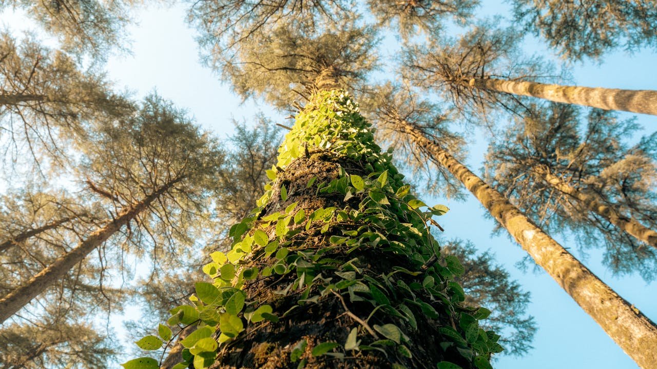
Dhanaulti Height From Sea Level (2026 Altitude, Eco Park, Surkanda Devi Peak & Snowfall Guide) – Perched along the serene, pine-scented ridgeline of the Garhwal Himalayas in Uttarakhand, Dhanaulti sits at an official elevation of 2,286 meters (7,500 feet) above sea level. Situated along the Mussoorie–Chamba highway in the Tehri Garhwal district, this tranquil hill station is widely sought after by mountain lovers looking to bypass the crowded mall roads of Mussoorie while enjoying dense deodar forests, sub-zero winter snowfall, and panoramic views of the Greater Himalayan peaks.
Rising 281 vertical meters higher than Mussoorie (2,005 meters), Dhanaulti experiences a noticeably cooler alpine microclimate. In this complete 2026 geographical and travel guide, we explore Dhanaulti’s exact elevation in meters and feet, the altitude of the sacred Surkanda Devi Temple (2,756 m), regional hill station comparisons, seasonal snowfall patterns, and mountain road connectivity.
Geographic Parameter
Official Topographical Details (2026)
Dhanaulti Town Elevation (Eco Park)
2,286 meters (7,500 feet) above sea level
Surkanda Devi Temple Summit
2,756 meters (9,042 feet) (Highest peak in the immediate ridge)
Kanatal Ridge Elevation
2,590 meters (8,500 feet)
Mussoorie Base Comparison
2,005 meters (6,578 feet) [Dhanaulti is +281 m higher]
Topographical Breakdown: Dhanaulti vs. Nearby Himalayan Hill Stations
To understand why Dhanaulti remains colder and greener than neighboring tourist towns, review this vertical elevation comparison across the Garhwal and Himachal corridors:
Surkanda Devi Temple (2,756 m): The High-Altitude Crown of Dhanaulti
Located just 8 km past Dhanaulti along the road toward Chamba, the village of Kadu Khal serves as the base for the sacred Surkanda Devi Temple, one of the 51 revered Shakti Peethas. Perched at an impressive 2,756 meters (9,042 feet), it is the highest accessible summit in the immediate region.
The Mythological Legend: According to the Shiva Purana, the head (sir) of Goddess Sati fell at this spot while Lord Shiva carried her body in grief, giving the temple its name (originally Sir-khanda, later corrupted to Surkanda).
Passenger Aerial Ropeway: Devotees can either hike the steep 1.5 km stone-paved trail or take the modern passenger ropeway cable car, which ascends from Kadu Khal to the temple summit in just 5 to 7 minutes.
Himalayan Vista Point: On clear autumn and winter mornings, the summit offers an unbroken 360-degree panorama of snow-capped Greater Himalayan peaks, including Bandarpoonch, Kalanag, Swargarohini, and the Chaukhamba massif.
How Elevation Shapes Dhanaulti’s Weather, Seasons & Snowfall
At 2,286 meters, Dhanaulti experiences a temperate mountain highland climate (Köppen: Cwb), offering distinct seasonal transitions:
Summer Escape (April to June): While cities across Punjab, Haryana, and the National Capital Region (NCR) swelter above 42°C, Dhanaulti stays between 10°C and 25°C. Evenings are cool and breezy, requiring light jackets or shawls.
Misty Monsoon (July to September): Monsoon moisture creates a fairy-tale setting with swirling clouds, dense fog, and lush green moss carpets. Temperatures range between 9°C and 20°C. Drivers should navigate carefully due to low cloud visibility along the Mussoorie bypass.
Autumn Clarity (October to November): The best season for photography and clear Himalayan mountain views. Crisp, dry winds sweep through the cedar canopy with daytime temperatures around 14°C to 18°C.
Winter Snowfall (December to February): Dhanaulti transforms into a winter wonderland. Regular Western Disturbances blanket the town, Eco Park, and surrounding ridgelines in 1 to 3 feet of snow. Daytime temperatures hover between -2°C and 10°C, with sub-zero nighttime freezes.
Top Tourist Attractions Influenced by Altitude
Amber and Dhara Eco Parks: Developed jointly by the Uttarakhand Forest Department and local villagers, these two forest parks protect dense groves of cedar, deodar, and oak. Walking trails offer peaceful picnic viewpoints overlooking the Shivalik foothills.
Government Potato Farm (Aloo Khet): A historic agricultural farm located on stepped terraced slopes, famous for producing high-grade disease-free seed potatoes. Sunrise views over the Doon Valley from this vantage point are spectacular.
Kanatal Adventure Camps: Located 15 km away at 2,590 meters, Kanatal offers glamping domes, zip-lining, valley crossing, and bonfire stargazing under unpolluted night skies.
Tehri Dam Reservoir Excursion: Continuing 40 km down the winding mountain highway brings you to the monumental Highest Dam in India (Tehri Dam), where visitors enjoy speed boating and floating houseboats on the massive lake.
Travel & Route Guide: Reaching Dhanaulti (2,286 m)
Dhanaulti is accessible via two picturesque mountain routes from the plains of Uttarakhand:
Route 1 via Mussoorie: Dehradun → Mussoorie (Kingcraig) → Suwakholi → Dhanaulti (Approx. 60 km / 2.5 hours). This is the most popular route, featuring sweeping ridge views along the Dhanaulti highway.
Route 2 via Rishikesh & Chamba (Bypass Mussoorie Traffic): Dehradun / Haridwar → Rishikesh → Narendra Nagar → Chamba → Dhanaulti (Approx. 105 km / 3.5 to 4 hours). An excellent all-weather alternative during peak summer weekends when Mussoorie faces traffic bottlenecks.
Nearest Railway Station: Dehradun Railway Station (DDN) is located approximately 62 km away, offering direct express connections to Delhi, Chandigarh, and Lucknow.
Nearest Airport: Jolly Grant Airport, Dehradun (DED) (~85 km away via the Chamba road).
Connecting from Chandigarh: Motorists driving from the Tricity cover approximately 230 km (5 to 6 hours) via Paonta Sahib and Dehradun. Review intercity bus departures at Sector 17 Chandigarh Bus Stand.
Frequently Asked Questions (FAQs)
What is the exact Dhanaulti Height From Sea Level?
Dhanaulti sits at an elevation of 2,286 meters (7,500 feet) above sea level in the Garhwal Himalayas of Uttarakhand.
Is Dhanaulti higher and colder than Mussoorie?
Yes. Dhanaulti (2,286 m) is approximately 281 meters higher than Mussoorie (2,005 m), making it on average 3°C to 5°C colder and far more likely to receive heavy, enduring snowfall during winter.
What is the elevation of Surkanda Devi Temple?
Surkanda Devi Temple stands at an altitude of 2,756 meters (9,042 feet) above sea level, making it the highest vantage point on the Dhanaulti–Chamba mountain ridge.
Does it snow every winter in Dhanaulti?
Yes. Dhanaulti receives regular winter snowfall between late December and early February. The surrounding deodar forests and terraced hills frequently accumulate multiple feet of snow.