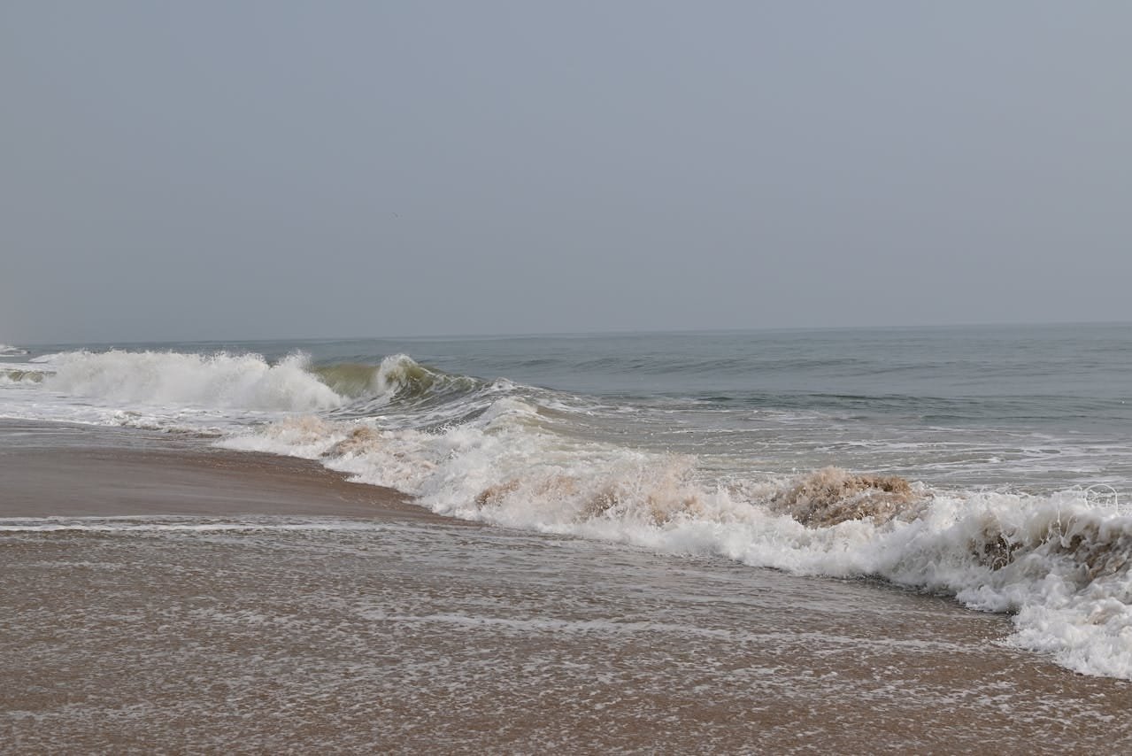
Chennai Height From Sea Level (2026 Exact Elevation, Coastal Topography, Flood Drainage & Climate Guide) – Situated along the Coromandel Coast of the Bay of Bengal in southeastern India, Chennai (formerly Madras), the capital city of Tamil Nadu, sits at an average elevation of just 6.7 meters (22 feet) above sea level. Unlike elevated inland plateau capitals like Bangalore (920 m) or high-altitude Western Ghats hill stations like Ooty (2,240 m), Chennai’s terrain is predominantly flat, low-lying coastal alluvium. Across the wider Chennai Metropolitan Area (CMA), elevation ranges from barely 2 to 4 meters along Marina Beach and the Buckingham Canal to isolated rocky hillocks like St. Thomas Mount rising to 60 meters (197 feet).
This near-sea-level elevation directly dictates Chennai’s tropical wet-and-dry climate, high year-round relative humidity, tidal river discharges, and seasonal vulnerability to Northeast Monsoon cyclonic storms. In this comprehensive 2026 geographical reference guide, we examine Chennai’s exact elevation in meters and feet, zone-wise topography, hydrology of the Adyar and Cooum basins, stormwater drainage dynamics, and comparisons with major Indian cities.
Geographic Parameter
Verified Scientific Details (2026)
Mean Elevation From Sea Level
6.7 meters (22 feet) (Average Municipal Datum)
Elevation Range across City
2 meters (Coastal Beaches) to 60 meters (St. Thomas Mount Hillock)
Zone-Wise Elevation Profile Across the Chennai Metropolitan Area
While the overall city average is recognized as 6.7 meters, Chennai’s topography varies across distinct coastal, central, and southwestern suburban zones:
Urban Zone / Neighborhood
Elevation (Meters)
Elevation (Feet)
Topographical & Drainage Characteristics
Marina Beach, Santhome & Foreshore Estate
2 m – 4 m
6.5 ft – 13 ft
Direct oceanfront sandy barrier; tidal ingress zone
George Town, Parrys & Central Station
3 m – 5 m
10 ft – 16.5 ft
Historic colonial business district; low elevation, high density
Besant Nagar (Elliot’s Beach) & Thiruvanmiyur
3 m – 6 m
10 ft – 20 ft
Southern coastal strip; sensitive sand dunes and estuaries
Mylapore, T. Nagar & Nungambakkam
5 m – 8 m
16.5 ft – 26 ft
Central residential and retail core; drained by the Cooum River canal
Guindy National Park plateau; elevated inland green belt
Tambaram, Chromepet & Vandalur
20 m – 32 m
65 ft – 105 ft
Southwestern suburban uplands; gentle slope toward the coast
St. Thomas Mount (Parangi Malai)
60 m
197 ft
Charnockite rocky hillock; highest natural elevation point within city limits
Pallavaram Hill Ridge
70 m
230 ft
Prehistoric archaeological site and telecommunication towers
How 6.7-Meter Coastal Elevation Affects Climate & Weather
Because Chennai lies almost flush with the sea, its atmospheric mechanics differ radically from inland peninsular hubs:
The Marine Heat Sink & Relative Humidity: Situated on the edge of the Bay of Bengal at 6.7 meters elevation, Chennai’s air remains saturated with marine moisture year-round. Relative humidity consistently hovers between 65% and 85%. Even when ambient temperatures register at 35°C during the Agni Nakshatram peak summer window (May), the combination of sea-level atmospheric pressure and water vapor creates a heat index (feels-like temperature) that can exceed 45°C.
The Afternoon Sea Breeze Relief: The flat coastal terrain allows the daily maritime sea breeze to push several kilometers inland, typically arriving between 1:00 PM and 2:30 PM, tempering the intense solar heat of central concrete districts like T. Nagar and Anna Nagar.
Retreating Northeast Monsoon (NEM) Ingress: Unlike the rest of India, which receives 80% of its rainfall from the Southwest Monsoon (June to September), Chennai receives over 60% of its annual rainfall from the Northeast Monsoon (October to December). Cyclonic depressions forming in the southern Bay of Bengal push directly onto Chennai’s flat coastal plains without natural mountain barriers to intercept them.
Hydrology, Stormwater Drainage & Flood Management
Understanding Chennai’s low elevation is central to analyzing the city’s water management and flood vulnerability:
Extremely Low Hydraulic Gradient: Chennai’s terrain slopes toward the Bay of Bengal with an extremely gentle gradient of less than 1 meter per kilometer. When intense cloudbursts deliver 200 mm to 400 mm of rainfall within 24 hours, gravitational rainwater runoff into the sea is naturally sluggish.
High-Tide Storm Inversion: During severe coastal cyclones, astronomical high tides and oceanic storm surges elevate the sea surface at the river mouths. When sea level rises above the discharge level of the Adyar and Cooum rivers, tidal water pushes back inland, causing backwater flooding in low-lying residential sectors like Velachery, Saidapet, and Mudichur.
The Critical Role of Pallikaranai Marsh: The Pallikaranai freshwater wetland—acting as the natural sponge for southern Chennai—sits at an elevation of roughly 5 to 7 meters. Urban expansion over surrounding marshland has reduced natural retention capacity, making modern stormwater drain networks and canal desilting essential municipal priorities. (Compare this with the inland master-planned drainage infrastructure detailed in 10 Reasons to Live in Chandigarh).
Elevation Comparison: Chennai vs. Major Indian Cities & Hill Stations
To contextualize Chennai’s coastal baseline, compare its 6.7-meter elevation with key metropolitan centers and regional hill retreats:
How Sea-Level Elevation Supports Trade, Ports & Transit
While low elevation requires careful flood management, it provides decisive economic advantages that have made Chennai the manufacturing and automotive capital of South India:
Natural Deepwater Seaports: Chennai’s direct sea-level interface hosts two major national ports: Chennai Port (an artificial all-weather harbor operating since 1881) and Kamarajar Port (Ennore). These facilities handle millions of cargo containers, dry bulk, and automobile exports annually without requiring inland transport detours.
Flat Ground Transport Gradients: Flat topography allows the Southern Railway network, the Chennai Suburban Railway, and the Chennai Metro Rail system to operate with minimal track grading. Tunnel boring machines (TBMs) constructing underground metro corridors work efficiently through coastal sedimentary sands and weathered rock strata.
No Physiological Travel Acclimatization: Unlike mountain destinations, arriving at Chennai’s 6.7-meter elevation involves no risk of altitude sickness (AMS). Full atmospheric oxygen saturation makes it comfortable for senior citizens, infants, and patients traveling for treatment at the city’s healthcare centers. (Compare this with northern transit hubs via Sector 17 Chandigarh Bus Stand).
Coastal Tourism Highlights: This sea-level landscape supports famous coastal landmarks, including Marina Beach (stretching 13 km as one of the longest natural urban beaches in the world), Elliot’s Beach in Besant Nagar, the historic rock-cut temples of Mahabalipuram to the south, and Pulicat Lake—India’s second-largest brackish lagoon—to the north.
Frequently Asked Questions (FAQs)
What is the exact Chennai Height From Sea Level?
The official average height of Chennai from sea level is approximately 6.7 meters (22 feet), with coastal beachfronts sitting at 2 to 4 meters and inland hillocks like St. Thomas Mount reaching up to 60 meters.
Why does Chennai experience urban waterlogging during monsoons?
Because Chennai has a very flat terrain with an average slope of less than 1 meter per kilometer, heavy rain runoff into the sea is naturally slow. During cyclone storm surges, high ocean tides can push back through river estuaries, causing temporary drainage backups.
What is the highest point in Chennai city?
The highest natural point within urban Chennai is St. Thomas Mount (Parangi Malai), an isolated charnockite hillock that rises to an elevation of approximately 60 meters (197 feet) above sea level.
Is Chennai higher or lower than Bangalore?
Chennai is significantly lower than Bangalore. Chennai sits at just 6.7 meters (22 feet) on the coast, whereas Bangalore sits high on the Deccan Plateau at an average elevation of 920 meters (3,020 feet) above sea level.