Kheerganga Height From Sea Level – 7 Powerful Facts You Must Know Before Trekking
Kheerganga Height From Sea Level (2026 Exact Elevation, Parvati Valley Trek, Hot Springs & Camping Guide) – Nestled amidst the pine-covered ridgelines of the Parvati Valley in the Kullu district of Himachal Pradesh, Kheerganga sits at an altitude of approximately 2,960 meters (9,711 feet) above sea level. Renowned across the globe among backpackers, trekkers, and spiritual seekers, this high-altitude alpine meadow is celebrated for its natural geothermal sulphur spring (Parvati Kund), unobstructed views of snow-dusted Himalayan peaks, and serene spiritual folklore dedicated to Lord Shiva and Kartikeya.
The popular 12-kilometer hiking trail begins at the motorable roadhead of Barshaini (2,195 m), climbing roughly 765 vertical meters (2,510 feet) through deodar forests, ancient wooden villages, and gushing waterfalls. In this comprehensive 2026 geographic reference guide, we examine Kheerganga’s exact elevation in meters and feet, the Barshaini–Nakthan trekking routes, geothermal pool facts, seasonal climate conditions, and high-altitude health tips.
Geographic Landmark / Waypoint
Height in Meters (MSL)
Height in Feet (MSL)
Topographical Role & Significance
Kheerganga Meadow & Hot Spring
2,960 m
9,711 ft
Alpine meadow, natural sulphur pool & Kartikeya cave shrine
Rudra Nag (Water Spout & Temple)
2,500 m
8,200 ft
Sacred serpentine waterfall and midpoint resting stop
Nakthan Village (Traditional Route)
2,300 m
7,545 ft
Traditional Himachali wooden hamlet with homestays and cafes
Kalga Village (Forest Trail Route)
2,280 m
7,480 ft
Scenic apple orchard settlement; alternative trek starting base
Barshaini (Motorable Roadhead)
2,195 m
7,200 ft
Trek start point, bus terminus & Parvati-Tosh river confluence
Tosh Village (Side Valley Hub)
2,400 m
7,874 ft
Popular cliffside backpacker village overlooking Tosh River
Manikaran Sahib (Transit Hub)
1,760 m
5,774 ft
Historic Gurudwara & Shiva temple with boiling hot springs
Topographical Profile: The Trail From Barshaini to Kheerganga
Unlike strenuous high-altitude mountaineering routes, the ascent to Kheerganga offers a well-graded moderate climb that gains approximately 765 vertical meters across two primary scenic routes:
Route 1: Via Nakthan Village (The Sunny Classic Trail – ~12 km): The most popular and clearly marked trail. Originating from the Barshaini bridge, the path follows the left bank of the roaring Parvati River, passing through terraced apple orchards and traditional wooden architecture in Nakthan village (2,300 m). Trekkers cross the sacred serpentine waterfall at Rudra Nag before entering a steep final 3-kilometer climb through dense conifer canopy to reach the meadow.
Route 2: Via Kalga & Pulga (The Shaded Dense Forest Trail – ~13.5 km): Commencing from Barshaini by climbing into the peaceful apple groves of Kalga village (2,280 m). This route winds through shaded virgin pine forests before joining the main trail near the newly constructed bridge above Rudra Nag. It offers cooler conditions during hot summer afternoons.
Trek Duration & Effort: An average hiker carrying a light daypack requires 5 to 6 hours to cover the 12-kilometer ascent, making it an ideal weekend trek for beginners and fit travelers alike.
The Geothermal Phenomenon: Parvati Kund Hot Springs (2,960 m)
The natural hot spring at the meadow’s summit is the crowning reward of the trek. Despite ambient mountain air frequently dropping near freezing, the natural mineral pool maintains temperatures between 38°C and 42°C (100°F to 108°F):
Rich Mineral Composition: The boiling water is naturally infused with therapeutic sulphur and dissolved minerals, known in local lore for easing muscular aches, joint stiffness, and physical fatigue after the climb.
Mythological Heritage: In local folklore, Kheerganga translates to “milky river of sacred water.” It is believed that Lord Shiva meditated here for thousands of years, while his son Lord Kartikeya chose this serene plateau for quiet contemplation.
Separate Bathing Enclosures: The pool is divided into an open-air natural tank for men and a sheltered indoor enclosure for women, maintained by the local temple committee.
Elevation Comparison: Kheerganga vs. Other Major Mountain Destinations
To put Kheerganga’s 2,960-meter altitude into context, compare it with prominent hill stations and trekking destinations across Himachal Pradesh, Uttarakhand, and South India:
How Altitude Influences Kheerganga’s Climate & Seasons
Sitting just beneath the 3,000-meter threshold, Kheerganga features a cool sub-alpine microclimate with dramatic diurnal temperature shifts:
Summer Trekking Season (April to June): Daytime temperatures are pleasant, ranging between 12°C and 22°C under sunny skies. Evenings turn crisp, with temperatures dropping to 4°C to 8°C. Snow along the trail thaws, feeding gushing mountain streams. This is the peak window for first-time hikers.
Monsoon Warning (July to August): The Parvati Valley receives heavy monsoonal rain, creating slippery mud on forest paths, swollen stream crossings near Rudra Nag, and landslide vulnerabilities along the Bhuntar–Manikaran road. Trekking during active downpours requires proper rain gear and caution.
Autumn Crystal Window (September to November): The finest period for photography and clear skies. Atmospheric humidity dissipates, offering sharp views of the snow-clad peaks. Night temperatures dip near freezing (-2°C to 4°C).
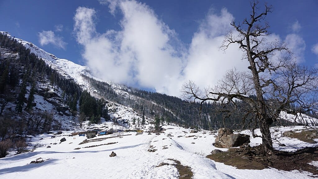
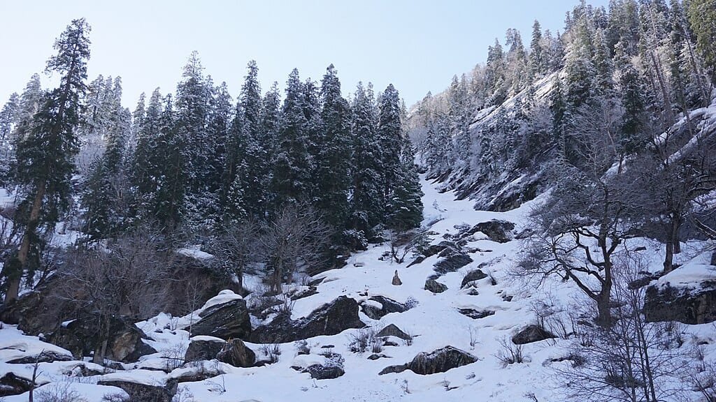
Snowy Winter (December to March): Kheerganga receives heavy winter snow, blanketing the meadows under 3 to 6 feet of snowpack. Daytime temperatures stay between -2°C and 6°C, plunging at night to -6°C to -12°C. Bathing in the hot spring while surrounded by snow is a memorable experience, though the trek requires crampons or microspikes.
Camping, Environmental Rules & Accommodation
To safeguard the fragile ecology of the Parvati Valley watershed, the Himachal Pradesh Forest Department and local gram panchayats strictly enforce waste-management and zoning rules:
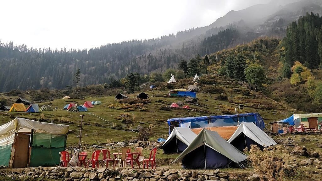
Regulated Camping: Unregulated concrete construction on the meadow is prohibited. Trekkers can book authorized seasonal dome tents and basic shepherd-style wooden homestays equipped with heavy blankets and communal dining halls.
Alternative Base Accommodation: Many travelers choose to stay in traditional homestays in Kalga, Pulga, or Tosh before embarking on an early morning day-hike to Kheerganga and returning before nightfall.
Leave No Trace: Single-use plastic bottles and polythene wrappers are discouraged. Always carry a reusable water bottle and bring all personal trash back down to the Barshaini disposal bins.
Altitude Health & Safety Tips for 2,960 Meters
Acclimatize in Kasol (1,580 m): Spending your first night in Kasol or Manikaran allows your body to adjust to mountain altitudes comfortably before hiking up to nearly 3,000 meters.
Stay Hydrated: Cold mountain air accelerates respiratory moisture loss. Drink 2 to 3 liters of warm water or herbal tea throughout the trek to prevent fatigue-induced headaches.
Limit Hot Spring Immersion: While soaking in the warm sulphur spring is relaxing, staying in hot water for more than 25 to 30 minutes at 2,960 meters can cause vasodilation, dizziness, and mild dehydration. Rest and hydrate after bathing.
Layered Clothing: Pack moisture-wicking synthetic innerwear, a fleece mid-layer, and a waterproof, wind-resistant outer jacket, as alpine temperatures plunge as soon as the sun dips behind the ridge.
How to Reach Kheerganga: Route From Chandigarh & Delhi
Reaching the trek trailhead at Barshaini involves standard road and transit links:
Step 1 (Transit to Bhuntar): Drive or take an overnight Volvo bus from Delhi or Chandigarh via Kiratpur Sahib and Mandi along the Kiratpur–Manali 4-lane highway corridor to Bhuntar (~270 km from Chandigarh). HRTC and private buses depart regularly from Sector 17 Chandigarh Bus Stand.
Step 2 (Bhuntar to Barshaini): From Bhuntar, branch east into the Parvati Valley via Jari, Kasol, and Manikaran to reach Barshaini (~42 km / 2 hours drive via local bus or taxi). Private vehicles can be safely parked at the designated Barshaini parking area.
Step 3 (Trek to Kheerganga): Walk across the dam construction footbridge and begin your 12 km hike via Nakthan or Kalga.
What is the exact kheerganga height from sea level?
Kheerganga is situated at an altitude of approximately 2,960 meters (9,711 feet) above sea level in the Parvati Valley of Kullu district, Himachal Pradesh.
What is the distance and difficulty of the Kheerganga trek?
The trek spans approximately 12 kilometers (one-way) from Barshaini, ascending roughly 765 vertical meters. It is rated as moderate and typically takes 5 to 6 hours for an average hiker to complete.
Is the natural hot water spring at Kheerganga open year-round?
Yes. The natural sulphur hot spring (Parvati Kund) flows continuously throughout the year with water temperatures between 38°C and 42°C, though winter accessibility depends on snow conditions along the trail.
Can beginners do the Kheerganga trek?
Yes. The gradual slope and clearly defined village pathways make Kheerganga one of the best introductory high-altitude treks in Himachal Pradesh for beginners with basic physical fitness.


 Reaching the trek trailhead at Barshaini involves standard road and transit links: