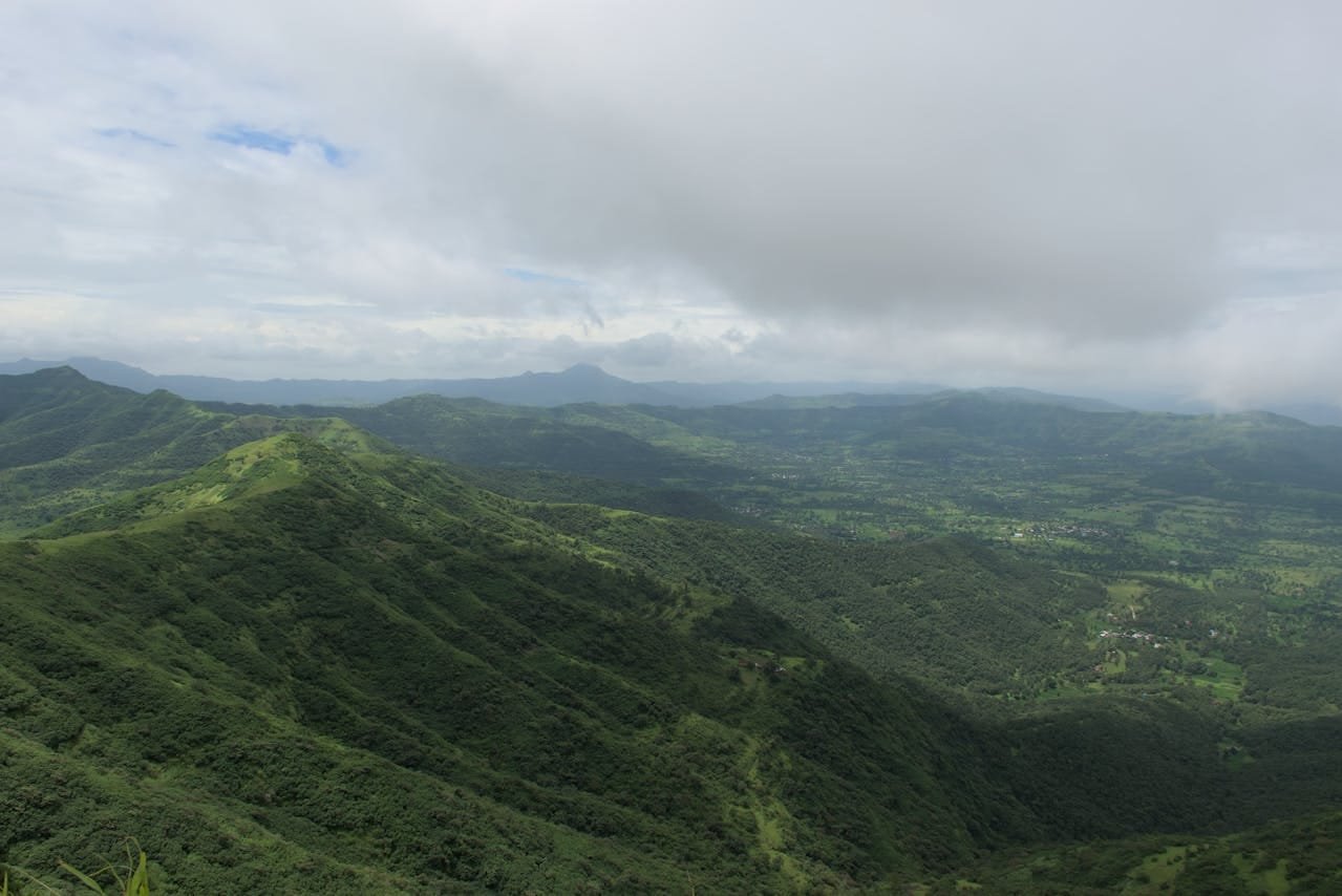
Situated along the western margin of the Deccan Plateau in Maharashtra, Pune (historically known as Poona) is one of India’s premier IT, automotive, and educational capitals. Resting on the leeward slopes of the Sahyadri (Western Ghats) mountain range, the city enjoys significantly lower humidity, cooler evening breezes, and a milder climate than coastal metros like Mumbai. In this comprehensive guide, we explore Pune’s exact altitude in meters and feet, the elevations of famous local hills (tekdis), its rain-shadow climate, and regional comparisons.
Western Deccan Plateau (Leeward side of Western Ghats)
Primary Rivers
Mula and Mutha Rivers (Confluence at Sangam)
Climate Classification
Hot Semi-Arid / Tropical Wet and Dry (Köppen: BSh / Aw)
What Is the Exact Height of Pune From Sea Level?
The core urban basin of Pune sits at an average altitude of 560 metres (1,840 feet) above mean sea level. However, because Pune is interspersed with basaltic hill ridges formed by ancient volcanic Deccan Traps, elevation varies considerably across neighborhoods:
Central Pune & Peth Areas: Located on the banks of the Mutha River at roughly 550 m to 560 m.
Vetal Tekdi (Vetal Hill / ARAI Hill): The highest natural hill within municipal limits, rising to 800 meters (2,625 feet), popular for morning walks and urban biodiversity.
Parvati Hill & Taljai Hills: Historic temple hills in the southern zone rising between 640 m and 660 m.
Hinjawadi IT Park & Baner Hills: Elevated western suburbs averaging between 570 m and 620 m.
Sinhagad Fort Ridge: Located 30 km southwest, standing majestically at 1,300 meters (4,265 feet).
Pune Altitude vs Major Indian Cities & Maharashtra Hubs
Here is how Pune’s height from sea level compares with other major metropolitan areas and popular hill getaways:
How Elevation & Rain-Shadow Location Shape Pune’s Climate
Pune’s climate is governed by two key geographic factors: its 560-meter elevation and its position on the leeward side of the Sahyadri range:
The Rain-Shadow Effect: While the windward side of the Western Ghats (like Khandala and Mahabaleshwar) receives over 3,000–5,000 mm of monsoon rainfall, the clouds lose much of their heavy moisture before descending onto the Pune plateau. As a result, Pune receives a moderate and manageable annual rainfall of ~720 to 750 mm.
Summer (March to May): Daytime temperatures range between 32°C and 38°C. Unlike Mumbai or Chennai, humidity levels in Pune remain low (under 40%), resulting in dry heat with rapid evening temperature drops.
Monsoon (June to September): Temperatures hover around 24°C to 28°C. The hills and countryside turn lush green, making it prime season for trekking around nearby ghats and waterfalls.
Winter (November to February): Cool, dry, and crisp weather with nighttime lows frequently dipping to 10°C to 12°C, and occasionally dropping below 8°C during peak cold waves.
Benefits of Altitude on Pune’s Urban Planning & Quality of Life
Natural Slope & Drainage: Because the city rests on an undulating plateau sloping toward the Mula-Mutha river basin, rainwater drains away faster than in flat coastal floodplains.
Hub for Trekking & Outdoor Sports: The elevated terrain surrounding the city is dotted with Maratha hill forts (Sinhagad, Torna, Rajgad, Purandar, Lohagad), making Pune the trekking and cycling capital of Western India.
Livable Microclimate: Clean mountain breezes from the Ghats help disperse urban pollutants more efficiently than low-lying valley cities.
Frequently Asked Questions (FAQs)
What is the exact height of Pune from sea level in feet and meters?
Pune is located at an average altitude of 560 meters, which corresponds to 1,837–1,840 feet above sea level.
Why is Pune cooler and less humid than Mumbai?
Pune is elevated over 540 meters higher than sea-level Mumbai and sits on the leeward side of the Western Ghats, which shields it from heavy marine moisture and keeps relative humidity significantly lower.
What is the highest point in Pune?
Within Pune city limits, Vetal Tekdi is the highest natural point at approximately 800 meters (2,625 feet). Just outside the city, Sinhagad Fort reaches an altitude of 1,300 meters (4,265 feet).