
Yercaud Height From Sea Level
Yercaud Height From Sea Level (2026 Elevation, Climate & Ghat Road Travel Guide) – Perched atop the mist-clad Shevaroy Hills (Servarayan range) in the Salem district of Tamil Nadu, Yercaud is affectionately hailed as the “Jewel of the South.” Unlike the crowded, heavily commercialized hill stations of the Western Ghats, Yercaud offers an unspoiled retreat celebrated for its sprawling aromatic coffee plantations, orange groves, spice estates, and serene mountain lakes. Positioned at an average elevation of 1,515 meters (4,970 feet) above sea level, with its highest point at the Servarayan temple reaching 1,623 meters (5,326 feet), Yercaud’s altitude provides a year-round mild climate that offers respite from the hot plains of Tamil Nadu. In this complete 2026 geographic and travel guide, we examine Yercaud’s exact elevation profile, climate dynamics, hairpin ghat road logistics, altitude comparisons, and practical travel tips.
| Geographic Parameter | Elevation / Specification Details |
|---|---|
| Average Town Elevation | 1,515 meters (4,970 feet) above sea level |
| Highest Point (Servarayan Peak) | 1,623 meters (5,326 feet) |
| Mountain Range & Zone | Shevaroy Hills (Southern Eastern Ghats) |
| District & State | Salem District, Tamil Nadu, India |
| Base Plain Elevation (Salem) | ~278 meters (912 feet) |
| Elevation Gain from Foothills | ~1,237 meters (4,058 feet) vertical ascent |
| Ghat Road Configuration | SH-188 with 20 Hairpin Bends (~32 km from Salem) |
| Climate Classification | Tropical Highland / Subtropical Savanna (Köppen: Aw/Cwb) |
| Risk of Altitude Sickness (AMS) | Zero (Well below the 2,400 m medical risk threshold) |
Topography & Geological Setting of the Shevaroy Hills
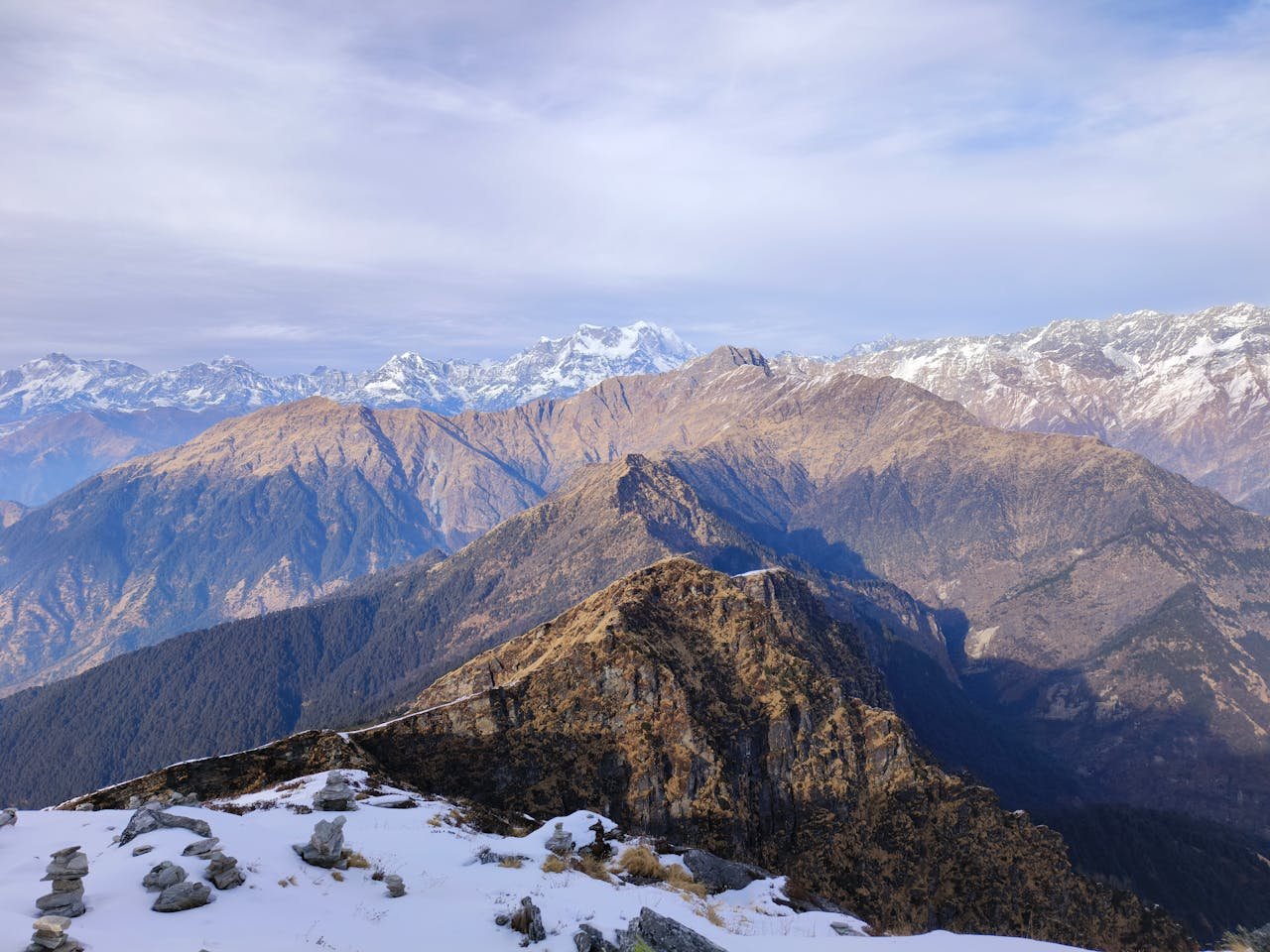
Geologically, Yercaud is unique because it is situated in the Eastern Ghats—an ancient chain of discontinuous, fault-block metamorphic plateaus that predate the Western Ghats. The Shevaroy Hills encompass an area of roughly 382 square kilometers, characterized by rich bauxite-bearing peaks, evergreen shola patches, and deep gorges:
- The Central Plateau (~1,515 m / 4,970 ft): Centers around the emerald expanse of Yercaud Lake (Big Lake). This natural water basin sits nestled amidst manicured gardens, boathouses, fruit orchards, and colonial heritage bungalows.
- Servarayan Temple Peak (1,623 m / 5,326 ft): The pinnacle of the Shevaroy range. It houses an ancient subterranean cave temple dedicated to Lord Shevaroyan (the guardian deity of the hills) and Goddess Kaveri, providing panoramic 360-degree vistas across neighboring valleys.
- Scenic Promontory Horizons (~1,400 m to 1,500 m): Vantage points like Lady’s Seat, Pagoda Point (Pyramid Point), Tipperary Viewpoint, and Arthur’s Seat jut out over steep precipices, offering sweeping views of the Salem city lights and the distant Mettur Dam reservoir.
How Altitude Influences Yercaud’s Climate & Agriculture
While the surrounding lowlands of Salem, Erode, and Tiruchirappalli frequently face summer heat waves exceeding 38°C to 41°C, Yercaud’s 1,515-meter elevation acts as a natural air conditioner:
- Summers (March to June): Daytime temperatures stay comfortable between 24°C and 30°C, while refreshing night breezes bring temperatures down to 17°C–19°C. This climate prompted British Collector David Cockburn to introduce coffee cultivation to the hills during the 1820s.
- Monsoons (July to October): The hills receive dual rainfall from both the Southwest Monsoon and the retreating Northeast Monsoon, averaging 1,500 mm annually. Shifting clouds drape the ghats, reviving Kiliyur Falls and filling forest ravines.
- Winters (November to February): Pleasant and crisp, with temperatures fluctuating between 12°C and 25°C. Morning mist burns off into bright mountain sunshine by mid-day, making heavy winter gear unnecessary; a light sweater or fleece jacket is all that is required.
- Agricultural Bounty: Mild temperatures and sloping red soil nourish high-grade Arabica and Robusta coffee plantations, shaded under towering silver oak, jackfruit, and teak trees interwoven with black pepper vines and orange orchards.
Elevation Comparison: Yercaud vs. Popular South Indian Hill Stations
To put Yercaud’s physical altitude into regional perspective, see how it compares against renowned hill destinations across South India:
| Hill Station / Destination | Mountain Range | Height in Meters | Height in Feet | Atmospheric Feel |
|---|---|---|---|---|
| Ooty (Udhagamandalam) | Nilgiris (Western Ghats) | 2,240 m | 7,350 ft | Alpine Chill, Near-Freezing Winters |
| Kodaikanal | Palani Hills (Western Ghats) | 2,133 m | 6,998 ft | Misty, Pine Forests, Cold Nights |
| Coonoor | Nilgiris (Western Ghats) | 1,850 m | 6,070 ft | Crisp Mountain Breezes, Tea Valleys |
| Munnar | Anamalai Hills (Western Ghats) | 1,600 m | 5,250 ft | Vast Tea Valleys, Cool & Moist |
| Yercaud | Shevaroy Hills (Eastern Ghats) | 1,515 m | 4,970 ft | Mild, Temperate & Less Windy |
| Kolli Hills | Eastern Ghats (Tamil Nadu) | 1,300 m | 4,265 ft | Winding 70 Hairpin Ghats, Rustic |
| Coorg (Madikeri) | Western Ghats (Karnataka) | 1,150 m | 3,770 ft | Lush Coffee Estates, Moderate |
| Yelagiri | Eastern Ghats (Tamil Nadu) | 1,110 m | 3,640 ft | Gentle Plateau, Accessible Weekend Trip |
Ascending the Salem to Yercaud Ghat Road (20 Hairpin Bends)
Ascending to Yercaud requires navigating State Highway 188, an engineered 32-kilometer ghat road connecting the foothill toll gate outside Salem to the high plateau:
- The 20 Hairpin Bends: Each sharp bend is numbered for driver navigation. Stopping bays near the 7th and 11th hairpins offer viewpoints overlooking the sprawling Salem metropolitan plains below.
- Driving Road Conditions: The tarmac surface is well-maintained with reflective signboards and stone parapet barriers. During monsoon evenings and foggy winter mornings, use low-beam fog lights, descend in second gear to avoid brake overheating, and honk at blind turns to alert uphill TNSTC buses.
- The 32-km Loop Road: Once atop the plateau, take the famous Loop Road that winds past heritage coffee estates through small hamlets like Semmaduvu and Nagalur, offering quiet woodland scenery far away from main tourist crowds.
Is Altitude Sickness a Concern in Yercaud?
No. Acute Mountain Sickness (AMS) generally only manifests when ascending rapidly above 2,400 to 2,500 meters (8,000+ feet), such as on Himalayan treks like Kedarnath (3,583 m) or Tungnath (3,680 m). At 1,515 meters, oxygen levels in Yercaud are practically indistinguishable from sea level. Toddlers, seniors, and heart or asthma patients can travel here without any need for altitude acclimatization.
Frequently Asked Questions (FAQs)
What is the exact Yercaud height from sea level?
The average elevation of Yercaud town is 1,515 meters (4,970 feet) above sea level. The highest point in the Shevaroy Hills, located at the summit of Servarayan Temple, reaches 1,623 meters (5,326 feet).
In which mountain range is Yercaud situated?
Yercaud is situated in the Shevaroy Hills (Servarayan Hills), which form a major high-altitude plateau block within the southern Eastern Ghats of Tamil Nadu.
Does Yercaud get as cold as Ooty or Kodaikanal?
No. Because Ooty (2,240 m) and Kodaikanal (2,133 m) are situated 600 to 700 meters higher in the Western Ghats, their winter temperatures can dip close to freezing. Yercaud enjoys a more moderate climate where winter nights rarely fall below 12°C to 14°C.
Explore More Regional Elevation & Hill Station Guides:
Ooty Height From Sea Level | Coonoor Height From Sea Level | Guwahati Height From Sea Level | Tungnath Height From Sea Level | Kedarnath Height From Sea Level
Comments are closed.