Highest Peak in South India – 7 Powerful Facts You Must Know
Highest Peak in South India (2026 Geography & Travel Guide) – Rising majestically above the mist-draped shola forests and rolling montane grasslands of the Western Ghats, Anamudi is the highest peak in South India. Soaring to an elevation of 2,695 meters (8,842 feet) above sea level, Anamudi is affectionately hailed as the “Everest of South India.” It represents the highest topographical elevation in India outside the Himalayan and Karakoram ranges. Situated inside the protected wilderness of Eravikulam National Park in the Idukki district of Kerala, Anamudi sits at the strategic geographic tri-junction of the Anaimalai Hills, the Cardamom Hills, and the Palani Hills. In this comprehensive 2026 geographic and travel guide, we explore Anamudi’s exact height, wildlife biodiversity, the Neelakurinji phenomenon, summit trekking regulations, peak comparisons, and how to plan your visit.
Geographic Parameter
Specification Details
Peak Name
Anamudi (Ana Mudi / Anaimudi)
Exact Elevation
2,695 meters (8,842 feet) above sea level
Topographic Prominence
2,479 meters (Ultra-prominent peak)
Mountain Range
Anaimalai Hills, Western Ghats (UNESCO World Heritage Site)
Location / District
Eravikulam National Park, Idukki District, Kerala, India
Nearest Hill Station
Munnar (~13 km to the park entry)
Etymological Meaning
“Elephant’s Forehead” (Malayalam / Tamil)
Protected Sanctuary
Eravikulam National Park & Nilgiri Biosphere Reserve
Why Is Anamudi Known as the “Everest of South India”?
Anamudi derives its name from the indigenous Malayalam words “Aana” (elephant) and “Mudi” (forehead or crown), reflecting its resemblance to the anatomical head of an Asian elephant. Geologically, Anamudi is an enormous fault-block massif composed of Precambrian gneissic rock, shaped over millions of years of tectonic uplift along the Western Ghats escarpment.
Unlike the youthful, folding Himalayas that exceed 8,000 meters due to active plate convergence, the Western Ghats represent the eroded edge of the Deccan Plateau. Despite being significantly older, Anamudi remains the undisputed topographic sovereign of Peninsular India. No mountain peak south of the Aravalli and Vindhya ranges matches its 2,695-meter vertical elevation.
Top 5 Highest Peaks in South India (Comparative Elevation)
There is often confusion among students and travelers regarding whether Anamudi or Doddabetta is the tallest mountain in the south. The official Survey of India data confirms the top five peaks:
While Doddabetta (2,637 m) is the highest mountain summit in Tamil Nadu and the Nilgiris, Anamudi (2,695 m) stands 58 meters taller, securing the overall record for South India and the entire Indian peninsula.
Ecology & Biodiversity: Nilgiri Tahr and Neelakurinji
Anamudi is enveloped by the high-altitude ecosystem of Eravikulam National Park, where unique shola forests (montane stunted evergreen rainforests) nestle in the folds between rolling alpine grasslands:
The Nilgiri Tahr Sanctuary: Eravikulam supports the world’s largest surviving wild population of the endangered Nilgiri Tahr (Nilgiritragus hylocrius). Visitors can frequently spot these mountain ungulates resting along the rocky ledges near the base of Anamudi.
The 12-Year Neelakurinji Bloom: The slopes surrounding Anamudi are world-famous for Strobilanthes kunthiana (Neelakurinji), a mass-flowering shrub that blooms synchronously once every 12 years, transforming the entire mountain face into a sea of purplish-blue.
Endemic Avian and Amphibian Species: The high elevations are home to the endangered Resplendent Shrub Frog (Raorchestes resplendens), which is found exclusively on the summit plateau of Anamudi, alongside endemic birds like the Nilgiri Pipit and White-bellied Sholakili.
Can You Trek to the Summit of Anamudi? (Strict Regulations)
A common inquiry among mountaineers is whether you can summit Anamudi. Trekking to the summit of Anamudi is strictly prohibited by the Kerala Forest Department and Wildlife Authorities to safeguard the fragile high-altitude ecosystem and prevent disruption to Nilgiri Tahr breeding zones.
Visitors can view the southern face of Anamudi up close by booking an authorized eco-tourism bus tour into the Rajamalai tourism zone of Eravikulam National Park. For adventurous travelers who wish to experience high-altitude trekking in the Western Ghats, Meesapulimala (South India’s second-highest peak at 2,640 m) offers authorized, guided base-camp trekking programs managed by the Kerala Forest Development Corporation (KFDC).
How to Reach Anamudi (Eravikulam National Park)
To view Anamudi, travelers must journey through the tea capital of Munnar in central Kerala:
From Munnar Town: ~13 km along the Munnar–Udumalpet road to the Eravikulam National Park ticket counter at Rajamalai.
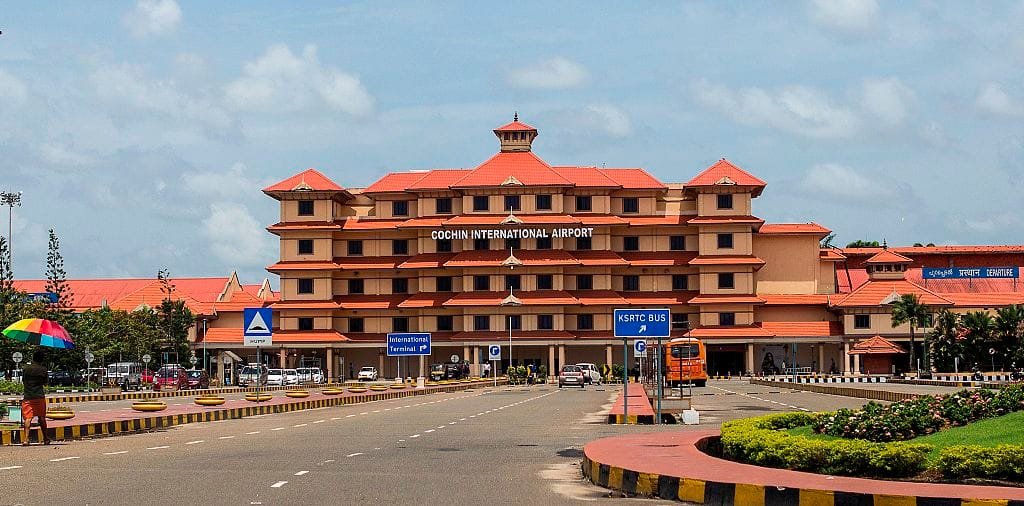
Nearest Airport: Cochin International Airport (COK), located approximately 115–125 km away (approx. 3.5 to 4 hours drive via NH-85 through Aluva and Kothamangalam).
Nearest Railway Station: Aluva Railway Station (~110 km) or Ernakulam Junction (~130 km). State transport (KSRTC) buses connect daily to Munnar.
Park Entry Logistics: Private vehicles are not allowed beyond the Rajamalai parking area. The Forest Department shuttles visitors via official eco-minibuses up to the trailhead walk.
Best Time to Visit & Annual Calving Closure Dates
Planning your trip around park timings and weather seasons is essential:
Best Season (September to January): Crisp post-monsoon weather delivers crystal-clear panoramic views of the peak, emerald-green hills, and comfortable daytime temperatures ranging from 12°C to 20°C.
Annual Park Closure (February to March/April): Eravikulam National Park is strictly closed for approximately 60 to 75 days every year during the calving season of the Nilgiri Tahr. Always verify park operational status on the official Kerala Forest website prior to booking.
Monsoon Warnings (June to August): The Idukki hills receive heavy torrential rainfall, frequently causing landslides along mountain passes. Sightseeing during peak monsoon is not advised.
Frequently Asked Questions (FAQs)
What is the highest peak in South India?
The highest peak in South India is Anamudi, standing at an elevation of 2,695 meters (8,842 feet) above sea level in the Idukki district of Kerala.
Which mountain range does Anamudi belong to?
Anamudi is located in the Anaimalai Hills (Elephant Hills), forming part of the UNESCO-inscribed Western Ghats mountain system.
Is Anamudi taller than Doddabetta in Ooty?
Yes. Anamudi (2,695 m) is 58 meters taller than Doddabetta (2,637 m), making Anamudi the highest point in all of Peninsular India.
Can tourists climb to the top of Anamudi?
No. Direct trekking to the summit of Anamudi is banned to protect endangered wildlife and fragile shola grasslands. Visitors can view the mountain from the Rajamalai trail within Eravikulam National Park.


Comments are closed.