Perched atop a scenic plateau in the lower Himalayas, Patnitop is one of Jammu and Kashmir’s most picturesque hill stations. Situated in the Ramban district along the Jammu–Srinagar corridor, it is renowned for dense deodar forests, sprawling green meadows, and heavy winter snowfall. In this comprehensive guide, we cover Patnitop’s official altitude in meters and feet, how its elevation shapes weather across seasons, and how it compares to nearby Himalayan peaks.
NH 44 (via Chenani-Nashri Tunnel bypass / old highway)
Highest Ropeway
Skyview by Empyrean Gondola (Sanget to Patnitop)
What Is Patnitop’s Exact Height From Sea Level?
Patnitop stands at an official elevation of 2,024 metres (6,640 feet) above sea level. Originally named “Patan Da Talab” (meaning the pond of the princess), the hill station sits on an expansive tabletop plateau rather than a steep ridge.
This plateau formation gives Patnitop a unique alpine environment where rolling meadows (locally known as margs) meet thick canopies of cedar, pine, and blue pine trees. Its elevation ensures clean mountain air, sweeping views of the Chenab River basin, and an escape from the sweltering heat of the northern plains.
Patnitop Elevation Compared to Nearby Himalayan Destinations
While Patnitop serves as the central hospitality base, higher adventure vantage points and regional hill resorts sit in its immediate vicinity:
Destination
Elevation (Meters)
Elevation (Feet)
Key Highlights
Patnitop Town
2,024 m
6,640 ft
Central meadows, Nag Temple, family resorts
Nathatop
2,710 m
8,890 ft
Snow viewpoints, ridge trekking, paragliding
Sanasar
2,050 m – 2,800 m
6,725 ft – 9,185 ft
Cup-shaped meadow, lake, eco-adventure park
Kud (Base Town)
1,735 m
5,690 ft
Famous for local Patisa sweets & lower valley views
Shimla
2,276 m
7,467 ft
Colonial hill capital of Himachal Pradesh
Gulmarg
2,650 m
8,690 ft
High-altitude ski resort in Kashmir Valley
How Altitude Influences Patnitop’s Climate & Weather
At an altitude of over 6,600 feet, Patnitop undergoes dramatic seasonal transformations:
Summer (April to June): Mild, refreshing temperatures between 15°C and 25°C make it an ideal summer escape when the plains of Punjab, Haryana, and Delhi cross 40°C.
Monsoon (July to August): Lush greenery, misty hills, and frequent rain showers (rainfall averages ~1,500 mm annually). Travelers should check highway weather advisories for NH 44 before visiting.
Autumn (September to November): Crystal-clear blue skies, crisp mountain air, and unhindered panoramic views of the Pir Panjal ranges.
Winter (December to March): Sub-zero temperatures (-2°C to 8°C) and heavy snowfalls turning the meadows into a natural skiing and sledging wonderland.
Top Things to Do at Patnitop’s Altitude
Patnitop’s unique alpine topography supports a wide variety of activities throughout the year:
Skyview Gondola (Ropeway): Experience India’s highest ropeway (ground clearance of over 65 meters), connecting Sanget Valley to Patnitop in just 10–12 minutes.
Winter Skiing & Sledging: The gentle slopes of Patnitop and nearby Madhatop offer beginner-friendly skiing courses organized by J&K Tourism during peak snow season (January–February).
Paragliding at Nathatop & Sanasar: Higher vantage points at Nathatop provide tandem paragliding joyrides with aerial views of alpine meadows.
Heritage Heritage & Spiritual Walks: Visit the 600-year-old wooden Nag Temple and stroll through circular pine forest trails around the meadow.
How to Reach Patnitop
By Road: Located roughly 112 km from Jammu and 190 km from Srinagar. The Dr. Syama Prasad Mookerjee Tunnel (Chenani-Nashri Tunnel) on NH 44 bypasses steep hairpin bends, making the climb to Patnitop much smoother.
Nearest Railway Stations:Udhampur (UHP) (~45 km) and Katra (SVDK) (~80 km) / Jammu Tawi (JAT) (~110 km).
Nearest Airport: Jammu Airport (IXJ), approximately 3 hours away by taxi.
Frequently Asked Questions (FAQs)
What is the height of Patnitop in feet and meters?
Patnitop is situated at an elevation of 2,024 meters, which equals 6,640 feet above sea level.
Does Patnitop get snowfall in winter?
Yes. Due to its 2,024-meter altitude, Patnitop receives substantial snowfall between late December and mid-February, creating ideal conditions for snow sports.
Is there any risk of altitude sickness at Patnitop?
No. Altitudes around 2,000 meters rarely cause acute mountain sickness (AMS). However, evenings can get chilly even in summer, so carrying a light jacket is advised.


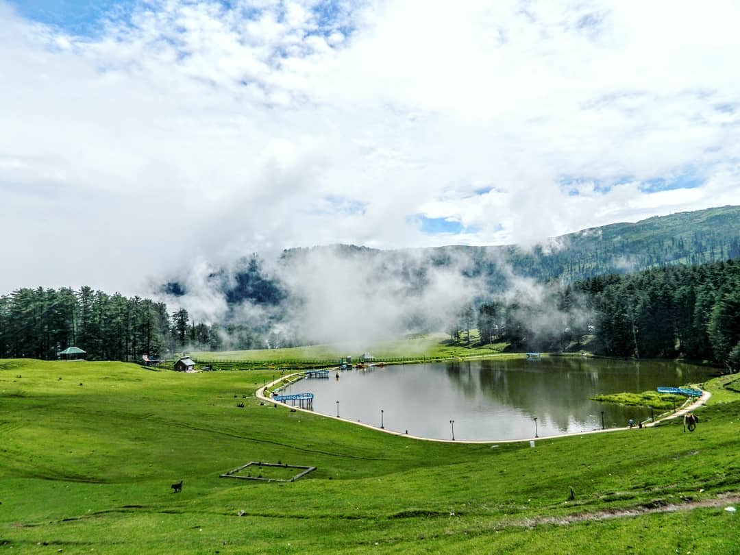 This plateau formation gives Patnitop a unique alpine environment where rolling meadows (locally known as margs) meet thick canopies of cedar, pine, and blue pine trees. Its elevation ensures clean mountain air, sweeping views of the Chenab River basin, and an escape from the sweltering heat of the northern plains.
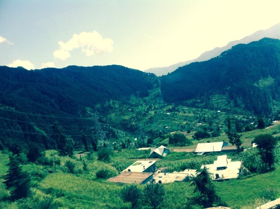 At an altitude of over 6,600 feet, Patnitop undergoes dramatic seasonal transformations:
Comments are closed.