
Madikeri Height From Sea Level – Altitude, Climate, Geography & Complete Travel Insight
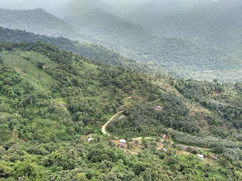
Madikeri Height From Sea Level (2026 Elevation, Mountain Ridges & Climate Guide) – Perched high along an undulating plateau in the central Western Ghats of Karnataka, Madikeri (historically known as Mercara) sits at an official elevation of 1,152 to 1,170 meters (3,780 to 3,840 feet) above sea level. Serving as the picturesque district headquarters of Kodagu (Coorg), Madikeri is celebrated for its lush shade-grown coffee estates, cardamom groves, heritage Haleri dynasty ramparts, and panoramic sunset viewpoints.
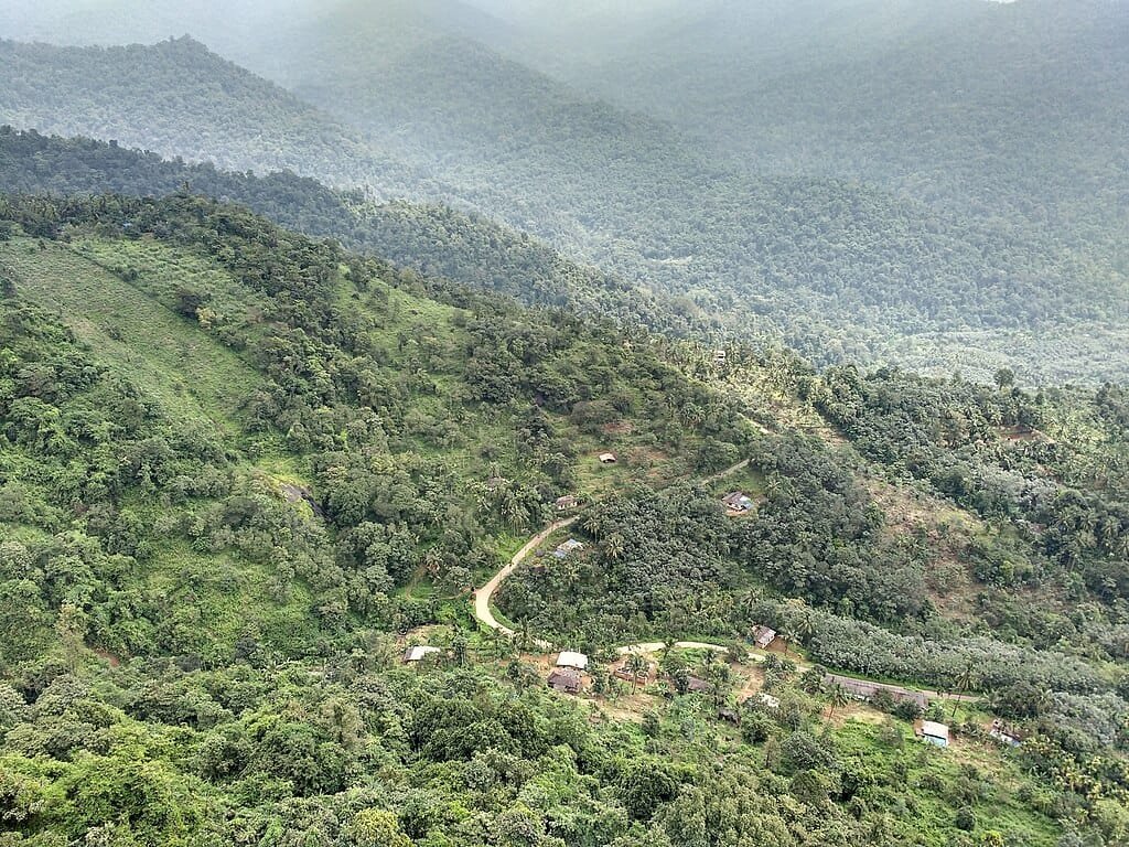
Situated more than 1,100 vertical meters above the nearby Arabian Sea coastal plains, Madikeri’s altitude creates a perennial temperate microclimate characterized by rolling morning mists, heavy monsoon deluges, and crisp winter nights. In this comprehensive 2026 geographic reference guide, we examine Madikeri’s exact altitude in meters and feet, surrounding mountain peaks (Tadiandamol & Mandalpatti), agro-climatic impacts on Arabica coffee, road ghat routes, and elevation comparisons across South Indian hill stations.
| Geographic Parameter | Official Measurement & Features |
|---|---|
| Madikeri Town Elevation (Meters) | 1,152 m – 1,170 meters |
| Madikeri Town Elevation (Feet) | 3,780 ft – 3,840 feet above sea level |
| Highest District Summit (Tadiandamol) | 1,748 m – 1,750 m (5,735 ft – 5,740 ft) |
| Nearby Off-Road Ridge (Mandalpatti) | 1,600 meters (5,250 feet) |
| River Birthplace (Talakaveri) | 1,276 meters (4,186 feet) on Brahmagiri Hills |
| Mountain Range | Western Ghats (Sahyadri Range, UNESCO World Heritage Zone) |
| District & State | Kodagu (Coorg) District, Karnataka, India |
| Historical Names | Mercara, Muddu Raja Keri (named after King Mudduraja) |
| Risk of Altitude Sickness (AMS) | Zero (Well below the 2,400 m medical risk threshold) |
Topography Explained: Madikeri Town vs. Kodagu District
When travelers search for the altitude of Coorg, understanding the topographical distinction between Madikeri town and the broader Kodagu district is essential:
- Madikeri Town (1,152 m / 3,780 ft): Built on a crest surrounded by forest ridges, the town experiences moderate temperatures, serving as the civic, administrative, and hospitality core of the region. (For a full overview of the entire district, explore our companion guide to Coorg Height From Sea Level).
- Mandalpatti Peak (1,600 m / 5,250 ft): Situated roughly 18 km north of Madikeri, this windswept ridgeline overlooks Pushpagiri Wildlife Sanctuary, famous for 4×4 jeep trails that climb through cloud banks.
- Tadiandamol Peak (1,748 m / 5,735 ft): The highest peak in Kodagu and the third-highest in Karnataka, situated near Kakkabe in southern Coorg.
- Lower River Valleys (Kushalnagar ~830 m): The eastern riverbed plains near the Mysore border sit nearly 320 meters lower than Madikeri, resulting in warmer daytime temperatures.
Elevation Comparison: Madikeri vs. Premier South Indian Hill Stations
To understand how Madikeri’s altitude compares with other renowned hill stations across the Western and Eastern Ghats, review this comparative breakdown:
| Hill Station / Mountain Peak | Region / State | Elevation (Meters) | Elevation (Feet) | Topographical Profile |
|---|---|---|---|---|
| Anamudi Peak | Kerala (Western Ghats) | 2,695 m | 8,842 ft | Highest Summit in Peninsular India |
| Ooty (Udhagamandalam) | Tamil Nadu (Nilgiris) | 2,240 m | 7,350 ft | High Mountain Basin, Near-Freezing Winters |
| Kodaikanal | Tamil Nadu (Palani Hills) | 2,133 m | 6,998 ft | Pine Forests & Mountain Plateaus |
| Coonoor | Tamil Nadu (Nilgiris) | 1,850 m | 6,070 ft | High Tea Slopes & Shola Woods |
| Munnar | Kerala (Anamalai Range) | 1,532 m | 5,026 ft | Tea Valleys & Misty Passes |
| Yercaud | Tamil Nadu (Shevaroy Hills) | 1,515 m | 4,970 ft | Eastern Ghats Coffee Highland |
| Madikeri (Mercara) | Karnataka (Western Ghats) | 1,152 m | 3,780 ft | Spices, Coffee Estates & Mist Valleys |
| Chikmagalur | Karnataka (Mullayanagiri) | 1,090 m | 3,576 ft | Foothill Coffee Hub |
| Wayanad (Kalpetta) | Kerala (Nilgiri Biosphere) | 780 m – 1,100 m | 2,560 ft – 3,600 ft | Highland Rainforest Basin |
How Altitude Shapes Madikeri’s Climate & Orographic Monsoons
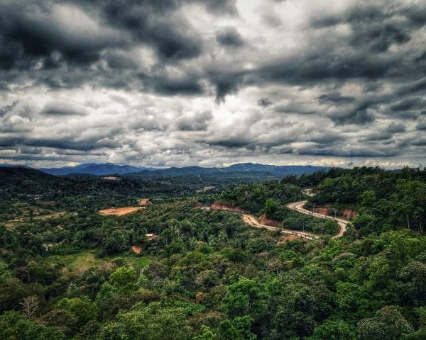
Madikeri’s position along the Western Ghats escarpment directly regulates its local microclimate:
- Summer Season (March to May): While the Deccan plains around Mysuru experience temperatures exceeding 35°C, Madikeri maintains pleasant daytime temperatures between 18°C and 28°C, with cool evening mountain breezes.
- Heavy Orographic Monsoon (June to September): Warm, moisture-laden clouds from the Arabian Sea collide with the 1,150-meter ridge of Madikeri, triggering heavy downpours averaging over 3,200 to 3,800 mm annually. Waterfalls like Abbey Falls swell to peak volume amidst emerald green landscapes.
- Crisp Highland Winters (November to February): The dry winter months bring crystal-clear blue skies, morning valley mists, and daytime highs around 22°C to 25°C, with overnight lows dipping to 10°C–12°C. While frost can occur in secluded valley hollows, Madikeri’s tropical latitude prevents snowfall.
The Altitude Factor in Coorg’s World-Class Coffee
Elevation is the defining element behind Kodagu’s reputation as the premier coffee region of India. Cultivated at elevations between 1,000 and 1,400 meters:
- Shade-Grown Arabica and Robusta: The cooler 1,150-meter altitude slows down bean maturation, allowing complex organic acids and natural sugars to concentrate inside the coffee cherries, resulting in smooth, aromatic cups with mild acidity.
- Canopy Intercropping: Mountain plantation canopies are shaded by tall native rosewood, wild fig, and silver oak trees, which support climbing vines of high-grade Tellicherry black pepper, bird’s eye chilies, and cardamom pods.
Top High-Altitude Viewpoints & Heritage Sites in Madikeri
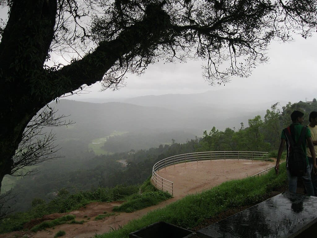
- Raja’s Seat (1,150 m / 3,773 ft): A historic brick pavilion set in formal gardens where the Haleri rulers of Kodagu spent evenings watching sunsets over deep mountain amphitheaters.
- Madikeri Fort & Palace: A 17th-century hilltop fortress originally built by King Mudduraja and later reconstructed in granite by Tipu Sultan and the British, featuring stone elephant sculptures and a museum.
- Abbey Falls (Approx. 1,050 m): Located 8 km from Madikeri town, the cascading Kaveri tributary drops 70 feet down volcanic rocks amidst private spice and coffee estates.
- Talakaveri & Brahmagiri Hills (1,276 m / 4,186 ft): Located 44 km southwest of Madikeri, this high mountain ridge serves as the sacred birthplace of the River Cauvery, featuring natural holy water springs and sweeping panoramic views.
Road Routes & Mountain Ghat Navigation to Madikeri
Reaching Madikeri involves driving scenic mountain highways that ascend into the Western Ghats:
- From Mysuru (~120 km): Travel via NH-275 through Hunsur, Kushalnagar, and Suntikoppa to Madikeri (approx. 3 hours). The road climbs gradually from the Mysore plains up to the Madikeri ridge.
- From Bengaluru (~250 km): Follow the Bangalore–Mysore Expressway to Mysuru, continuing along NH-275 directly into Madikeri (approx. 5 to 5.5 hours).
- From Mangaluru (~135 km): Drive via NH-275 through Bantwal, Puttur, and Sullia, ascending the winding Sampaje Ghat (approx. 3.5 hours) with views of dense rainforests.
- Nearest Airports: Kannur International Airport (CNN) (~90 km via Virajpet) and Mangaluru International Airport (IXE) (~140 km).
- Nearest Railway Stations: Mysuru Junction (MYS) (~115 km) and Hassan Junction (~115 km). Direct KSRTC Airavat Club Class Volvo buses connect Madikeri to major cities daily.
Frequently Asked Questions (FAQs)
What is the exact madikeri height from sea level?
The municipal town of Madikeri sits at an altitude of approximately 1,152 to 1,170 meters (3,780 to 3,840 feet) above sea level in the Western Ghats of Karnataka.
Does it ever snow in Madikeri?
No. Madikeri never receives snowfall due to its tropical South Indian latitude. However, winter mornings (December to January) are cool and misty, with nighttime temperatures dropping to 10°C–12°C.
Is Madikeri higher than Ooty and Munnar?
No. Both Ooty (2,240 m) and Munnar (1,532 m) are located at higher altitudes than Madikeri (1,152 m), which gives Madikeri a milder, less freezing winter climate.
What is the highest mountain peak near Madikeri?
The highest mountain peak near Madikeri is Tadiandamol Peak (1,748 m / 5,735 ft), while Mandalpatti Peak (1,600 m) is the most popular high viewpoint located 18 km north of the town.
Explore More Regional Elevation & Hill Station Travel Guides:
Coorg Height From Sea Level | Highest Peak in South India (Anamudi) | Ooty Height From Sea Level | Coonoor Height From Sea Level | Yercaud Height From Sea Level
Comments are closed.