Nestled in the Cardamom Hills of the Western Ghats along Kerala’s eastern border in Idukki district, Thekkady is India’s premier wildlife and spice destination. Centered around the renowned Periyar Tiger Reserve, Thekkady offers a balanced mid-altitude tropical mountain climate with cool breezes, misty hill slopes, and lush evergreen rainforests. In this complete guide, we cover Thekkady’s exact height in meters and feet, the elevations of key viewpoints like Mangala Devi Temple, its climate across seasons, and regional hill station comparisons.
Idukki District, Kerala, India (bordering Tamil Nadu)
Altitude Category
Mid-altitude sub-tropical highland (No altitude sickness)
What Is Thekkady’s Exact Height From Sea Level?
The urban and resort belt of Thekkady (bordering the town of Kumily) sits at an average altitude of 700 metres (2,296 feet) above sea level, with the waters of Periyar Lake resting at approximately 850 metres (2,788 feet). The surrounding slopes and ridges rise over 1,300 meters, creating distinct elevation zones:
Kumily Gateway & Spice Markets: Located at ~700 m, housing commercial homestays, spice emporiums, and transit centers.
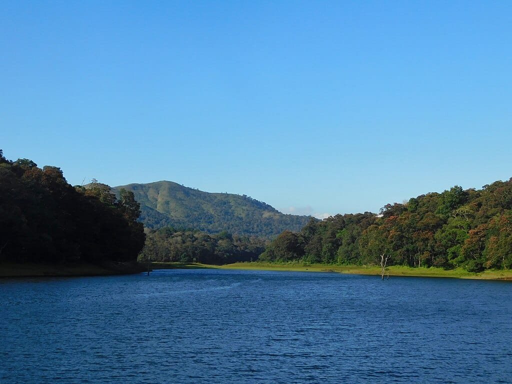
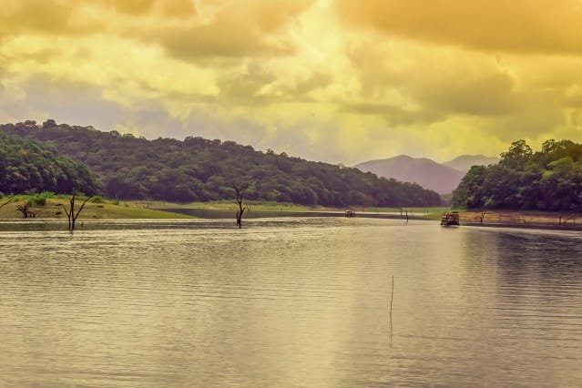
Periyar Lake & Boat Landing: Nestled within the sanctuary basin at ~850 m, surrounded by submerged tree trunks and elephant corridors.
Pandikuzhi & Chellarkovil Viewpoints: Elevated ridgelines at ~1,000 m offering panoramic views of the plains of Theni in Tamil Nadu.
Mangala Devi Kannagi Temple: Situated on the highest ridge of the reserve at 1,337 meters (4,386 feet).
Thekkady Elevation vs Other South Indian Hill Stations
Here is how Thekkady’s mid-altitude elevation compares with other popular hill getaways across Kerala, Tamil Nadu, and Karnataka:
How Altitude Influences Thekkady’s Climate & Biodiversity
Because Thekkady rests at a moderate 700–850 m elevation, it avoids the bitter cold of high peaks while remaining notably cooler and less humid than coastal Kerala:
Winter (October to February): The most popular season. Temperatures average between 12°C and 25°C, with crisp morning mists over Periyar Lake and pleasant sunshine throughout the day.
Summer (March to May): Mild with temperatures hovering between 18°C and 30°C. Wildlife sightings around the lake shores increase significantly as animals visit waterholes.
Monsoon (June to September): The region receives substantial rainfall (2,000–3,000 mm) during the Southwest Monsoon, rejuvenating the dense canopy and filling waterfalls in Chellarkovil.
The Altitude Factor in Thekkady’s Spice Cultivation
The Cardamom Hills get their name from the unique microclimate created at this elevation. The 700–1,000 m altitude provides high humidity, well-drained loamy mountain soils, and canopy shade—perfect for cultivating:
Malabar Cardamom & Black Pepper: Premium export-grade green cardamom and tellicherry peppercorns.
Cinnamon, Clove & Nutmeg: Grown organically in multi-tier agroforestry plantations.
Highland Coffee & Tea: Tea gardens thrive on the higher ridges surrounding Vandiperiyar and Kumily.
Top Places to Visit & Activities in Thekkady
Periyar Tiger Reserve Boat Safaris: Two-hour boat cruises operated by KTDC on Periyar Lake to view wild elephants, gaur (Indian bison), sambar deer, and otters.
Guided Bamboo Rafting & Jungle Treks: Full-day eco-tourism excursions through the interior forests of the reserve.
Chellarkovil Viewpoint: Overlooks sweeping cascading waterfalls and the plains of neighboring Tamil Nadu.
Mangala Devi Temple: An ancient 14-stone stone temple located inside the deep reserve, open to pilgrims during the Chitra Pournami festival.
Kadathanadan Kalari Centre: Experience authentic demonstrations of Kalaripayattu (ancient martial art) and Kathakali classical dance in Kumily.
How to Reach Thekkady
By Air: The closest airport is Madurai Airport (IXM) in Tamil Nadu (~140 km / 3.5 hours drive). Cochin International Airport (COK) in Kerala is ~150 km (~4 hours drive).
By Rail: The nearest major railway station is Kottayam (KTYM) (~110 km / 3 hours via the scenic KK Road / NH 183).
By Road: Excellent connectivity via NH 183 from Kottayam, Munnar (90 km), and Madurai.
Frequently Asked Questions (FAQs)
What is the height of Thekkady from sea level in feet and meters?
Thekkady sits at an average elevation of 700 to 850 meters, which corresponds to 2,296 to 2,788 feet above sea level.
Does Thekkady have altitude sickness risks?
No. At 700–850 meters, atmospheric pressure and oxygen levels are normal. It is completely safe and comfortable for children, senior citizens, and first-time travelers.
Is Thekkady colder than Munnar?
No. Munnar is located at a higher altitude (1,532 m) and is cooler than Thekkady (700–850 m). Thekkady enjoys milder, pleasant weather throughout the year.

Comments are closed.