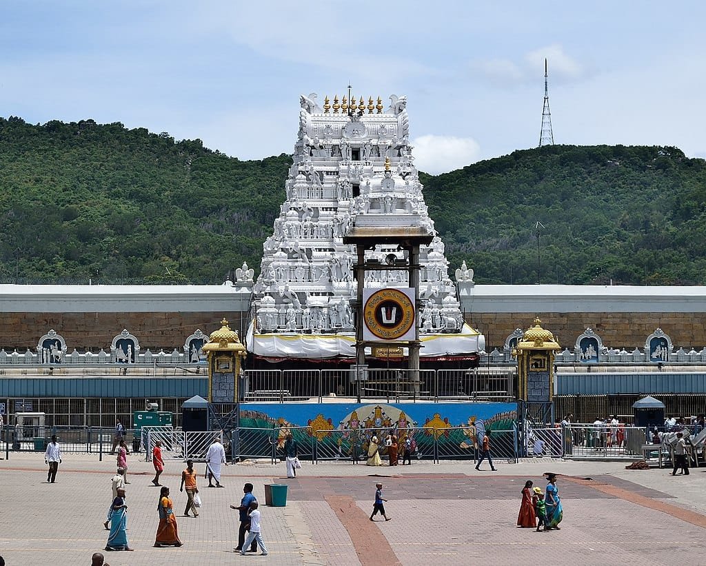
Tirumala Height From Sea Level (2026 Altitude, Seshachalam Hills, Temple Elevation & Ghat Roads) – Perched atop the emerald escarpments of the Eastern Ghats in the Tirupati district of Andhra Pradesh, Tirumala sits at an official elevation of 853 meters (2,799 feet) above sea level. Revered as one of the holiest and most visited pilgrimage destinations on the planet, the sacred hill town is home to the world-famous Sri Venkateswara Swamy Temple (Tirumala Temple), situated on Venkatadri—the seventh sacred peak of the Seshachalam mountain range.
Rising more than 691 vertical meters above the base plains of Tirupati city (162 meters), Tirumala enjoys a microclimate that is noticeably cooler and greener than the surrounding southern plains. In this complete 2026 geographic and pilgrim reference guide, we examine Tirumala’s exact altitude in meters and feet, the geography of the Seven Sacred Peaks, elevation gradients along the Alipiri and Srivari Mettu trekking footpaths, climate impacts, and transit routes via the twin ghat roads.
Geographic Parameter
Official Measurement & Topographical Benchmark
Tirumala Temple Elevation
853 meters (2,799 feet) above sea level
Highest Ridge Elevation (Seshachalam)
~980 m – 1,020 meters (3,215 ft – 3,346 ft)
Tirupati Base City Elevation
162 meters (531 feet) above sea level
Vertical Elevation Climb
691 vertical meters (2,267 feet) from base to summit
Topographical Breakdown: Why Are Two Elevations Cited for Tirumala?
Pilgrims, geography students, and travelers frequently encounter two distinct elevation numbers for Tirumala in geographical surveys—853 meters vs. 980 meters. Understanding the topography resolves this variation:
853 Meters (2,799 Feet): The precise topographical datum for the Tirumala town plateau, the holy Pushkarini reservoir, and the sanctum sanctorum (Ananda Nilayam) of Sri Venkateswara Swamy Temple. This is the official altitude benchmark for municipal and administrative purposes.
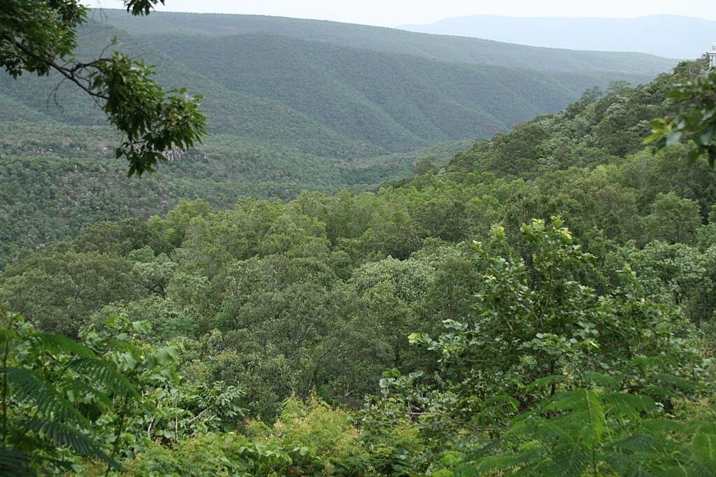
980 to 1,020 Meters (3,215 to 3,346 Feet): Represents the upper ridgelines and highest summits within the surrounding Seshachalam Biosphere Reserve (including crests near Silathoranam natural stone arch and the high watchpoints overlooking Papavinasanam dam).
The Seven Sacred Peaks of Seshachalam (Sapthagiri)
The Seshachalam mountain range is revered in Hindu theology as Adisesha, the divine thousand-headed serpent supporting Lord Vishnu. The seven prominent hills surrounding Tirumala symbolize the seven cosmic hoods of the serpent deity:
Seshadri: Represents the serpent king Adisesha, guarding the northern approaches.
Neeladri: Associated with Neela Devi, the deity who offered her locks to Lord Srinivasa; here, devotees offer their hair (kalyanakatta tonsuring).
Garudadri: The hill of Garuda, the celestial mount (vahana) of Lord Vishnu.
Anjanadri: Believed to be the birthplace of Lord Hanuman (Anjaneya), housing sacred hill shrines.
Vrushabhadri: Associated with the demon Vrushabhasura, who attained liberation here after devotion.
Narayanadri: The peak where sage Narayana performed prolonged penance.
Venkatadri (853 m): The sacred hill that houses the main sanctorum of Lord Venkateswara (Balaji), credited with destroying all karmic sins (Vem meaning sin, Kata meaning destruction).
Elevation Comparison: Tirumala vs. Notable Indian Pilgrimage & Hill Destinations
To place Tirumala’s 853-meter altitude into geographical perspective across India, examine how it compares to peninsular summits and northern mountain shrines:
Climbing the Sacred Hills: Footpaths & Vertical Rise
For hundreds of years, devotees have ascended the Seshachalam slopes on foot as an act of penance. Two distinct trekking routes connect the foothill plains to Tirumala:
Alipiri Mettu Footpath (The Traditional Route): Starting from the Alipiri toll gate in Tirupati, this 9-kilometer paved stone trail spans 3,550 steps. It climbs through the Galigopuram ridge, passes the deer park, and takes roughly 3.5 to 5 hours to ascend. Free luggage transport services are provided by TTD for walking pilgrims.
Srivari Mettu Footpath (The Royal Historical Path): Beginning near Chandragiri (~15 km from Tirupati town), this is the ancient stone staircase historically restored and walked by Emperor Sri Krishnadevaraya of Vijayanagara. It is significantly shorter but steeper, covering 2,388 steps over approximately 3 kilometers (completed in 1.5 to 2.5 hours).
Toll Ghat Roads: For motor vehicles and TTD free electric/diesel feeder buses, two separate one-way asphalt roads wind up the hills. The Second Ghat Road (18 km) manages ascending uphill traffic, while the First Ghat Road (19 km) handles descending vehicles to ensure road safety.
How Altitude Shapes Tirumala’s Climate & Biodiversity
Because Tirumala sits roughly 700 meters higher than the surrounding Rayalaseema plains, it experiences distinct climatic advantages:
Temperature Moderation: During peak southern summers (April to May), when temperatures in Tirupati and Chennai climb past 40°C to 42°C, Tirumala’s higher elevation keeps daytime temperatures between 30°C and 34°C, with nights dropping to 22°C.
Lush Winter Months (November to February): Cool, crisp hill breezes bring daytime temperatures around 24°C to 28°C, with nighttime lows dropping to 14°C to 17°C, requiring light shawls.
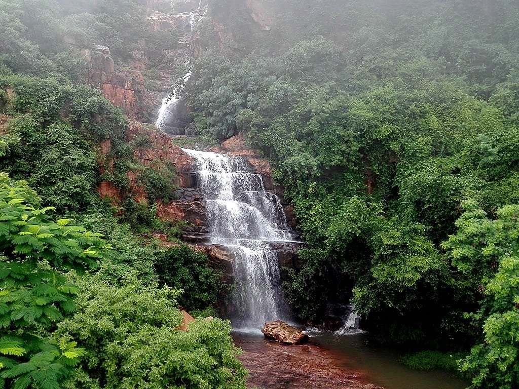
Northeast Monsoon Influx: Unlike north India which relies primarily on the southwest monsoon, Tirumala receives its highest rainfall during the Northeast Retreating Monsoon (October to December), filling ancient pilgrimage theerthams (such as Kapila Theertham, Chakra Theertham, and Papavinasanam).
Endemic Wildlife: The surrounding Sri Venkateswara National Park is home to endangered species including the slender loris, golden gecko, Indian leopard, and valuable reserves of Red Sanders (Pterocarpus santalinus).
Frequently Asked Questions (FAQs)
What is the exact tirumala height from sea level?
The town of Tirumala and the Sri Venkateswara Temple sit at an elevation of 853 meters (2,799 feet) above sea level in the Seshachalam Hills of the Eastern Ghats.
How much higher is Tirumala than Tirupati?
Tirumala (853 m) is approximately 691 vertical meters (2,267 feet) higher than the base city of Tirupati (162 m), creating a cooler hill climate.
Which district is Tirumala located in?
Following the district reorganization by the Government of Andhra Pradesh, Tirumala is officially located in the Tirupati District (formerly part of Chittoor District).
Which is the highest peak among the Seven Hills of Tirumala?
While Lord Venkateswara’s temple sits on Venkatadri (853 m), the highest geographical ridgelines in the surrounding Seshachalam range reach elevations of 980 to 1,020 meters.